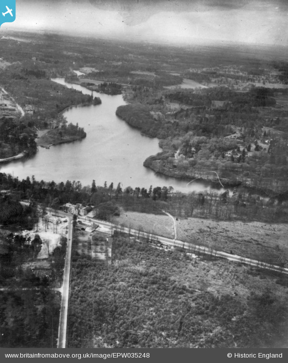
epw035248 ENGLAND (1931). Virginia Water and environs, Virginia Water, from the east, 1931. This image has been produced from a print.
© Copyright OpenStreetMap contributors and licensed by the OpenStreetMap Foundation. 2024. Cartography is licensed as CC BY-SA.
Details
| Title | [EPW035248] Virginia Water and environs, Virginia Water, from the east, 1931. This image has been produced from a print. |
| Reference | EPW035248 |
| Date | May-1931 |
| Link | |
| Place name | VIRGINIA WATER |
| Parish | |
| District | |
| Country | ENGLAND |
| Easting / Northing | 498320, 168873 |
| Longitude / Latitude | -0.58616515590088, 51.409851470373 |
| National Grid Reference | SU983689 |


