
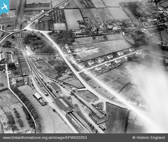
epw033353 ENGLAND (1930). Cheddar Railway Station and Widgett's Lane, Cheddar, 1930. This image has been affected by flare.
© Copyright OpenStreetMap contributors and licensed by the OpenStreetMap Foundation. 2025. Cartography is licensed as CC BY-SA.
Details
| Title | [EPW033353] Cheddar Railway Station and Widgett's Lane, Cheddar, 1930. This image has been affected by flare. |
| Reference | EPW033353 |
| Date | July-1930 |
| Link | |
| Place name | CHEDDAR |
| Parish | CHEDDAR |
| District | |
| Country | ENGLAND |
| Easting / Northing | 345357, 153376 |
| Longitude / Latitude | -2.7834715801589, 51.276397108088 |
| National Grid Reference | ST454534 |
Pins
Be the first to add a comment to this image!