
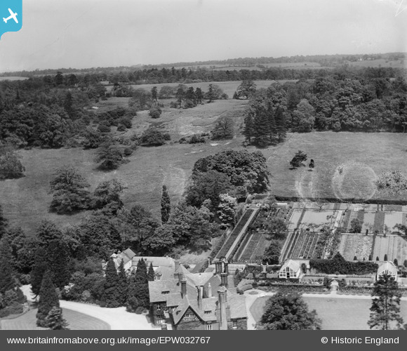
epw032767 ENGLAND (1930). Nyn Park, Northaw, 1930
© Copyright OpenStreetMap contributors and licensed by the OpenStreetMap Foundation. 2025. Cartography is licensed as CC BY-SA.
Nearby Images (17)
EPW032767

EPW032262

EPW032261

EPW032772

EPW032274

EPW032766

EPW032260

EPW032265

EPW032276

EPW032275

EPW032268

EPW032273

EPW032264

EPW032769

EPW032768

EPW032270

EPW032266

Details
| Title | [EPW032767] Nyn Park, Northaw, 1930 |
| Reference | EPW032767 |
| Date | June-1930 |
| Link | |
| Place name | NORTHAW |
| Parish | NORTHAW AND CUFFLEY |
| District | |
| Country | ENGLAND |
| Easting / Northing | 527893, 203215 |
| Longitude / Latitude | -0.1486213854814, 51.712609460604 |
| National Grid Reference | TL279032 |
Pins
 totoro |
Friday 12th of May 2017 10:17:24 PM |