
epw032529 ENGLAND (1930). Housing at Bedminster and Southville, Bristol, 1930

© Copyright OpenStreetMap contributors and licensed by the OpenStreetMap Foundation. 2025. Cartography is licensed as CC BY-SA.
Nearby Images (2)
EPW032529

EAW032240

Details
| Title | [EPW032529] Housing at Bedminster and Southville, Bristol, 1930 |
| Reference | EPW032529 |
| Date | June-1930 |
| Link | |
| Place name | BRISTOL |
| Parish | |
| District | |
| Country | ENGLAND |
| Easting / Northing | 358034, 171280 |
| Longitude / Latitude | -2.6038341717306, 51.438469060935 |
| National Grid Reference | ST580713 |
Pins
 Paul Wick |
Tuesday 3rd of September 2024 12:37:43 PM | |
ChurchCrawler |
Thursday 22nd of April 2021 04:29:36 PM | |
ChurchCrawler |
Thursday 22nd of April 2021 04:25:40 PM | |
Chris V |
Tuesday 29th of December 2020 10:23:32 AM | |
Richard Anstey |
Sunday 29th of November 2020 10:57:17 PM | |
 Class31 |
Sunday 29th of June 2014 09:09:33 AM | |
Class31 |
Sunday 29th of June 2014 09:08:51 AM | |
Class31 |
Sunday 29th of June 2014 09:07:31 AM | |
Class31 |
Sunday 29th of June 2014 09:06:00 AM | |
Class31 |
Sunday 29th of June 2014 08:58:24 AM | |
Class31 |
Sunday 2nd of March 2014 11:15:52 AM | |
Class31 |
Sunday 2nd of March 2014 11:12:57 AM | |
Class31 |
Sunday 2nd of March 2014 11:09:49 AM | |
psjones01 |
Wednesday 20th of November 2013 12:39:51 PM | |
Class31 |
Thursday 4th of July 2013 08:28:52 PM | |
Class31 |
Thursday 4th of July 2013 08:27:28 PM | |
Class31 |
Thursday 4th of July 2013 08:26:07 PM | |
Class31 |
Thursday 4th of July 2013 08:25:20 PM | |
Class31 |
Thursday 4th of July 2013 08:25:04 PM | |
kent2 |
Thursday 13th of December 2012 09:22:00 AM | |
kent2 |
Thursday 13th of December 2012 09:20:18 AM | |
kent2 |
Thursday 13th of December 2012 09:19:46 AM | |
kent2 |
Thursday 13th of December 2012 09:18:35 AM | |
kent2 |
Thursday 13th of December 2012 09:17:33 AM | |
kent2 |
Thursday 13th of December 2012 09:15:50 AM | |
kent2 |
Thursday 13th of December 2012 09:12:26 AM | |
kent2 |
Thursday 13th of December 2012 09:11:19 AM | |
kent2 |
Thursday 13th of December 2012 09:10:57 AM | |
kent2 |
Thursday 13th of December 2012 09:07:52 AM | |
kent2 |
Thursday 13th of December 2012 09:02:10 AM | |
kent2 |
Thursday 13th of December 2012 08:57:09 AM | |
kent2 |
Thursday 13th of December 2012 08:56:27 AM | |
kent2 |
Thursday 13th of December 2012 08:53:12 AM | |
kent2 |
Thursday 13th of December 2012 08:52:46 AM | |
kent2 |
Thursday 13th of December 2012 08:52:21 AM | |
kent2 |
Thursday 13th of December 2012 08:51:56 AM | |
kent2 |
Thursday 13th of December 2012 08:51:09 AM | |
kent2 |
Thursday 13th of December 2012 08:48:23 AM | |
kent2 |
Thursday 13th of December 2012 08:46:39 AM | |
kent2 |
Thursday 13th of December 2012 08:46:09 AM | |
kent2 |
Thursday 13th of December 2012 08:45:15 AM | |
kent2 |
Thursday 13th of December 2012 08:35:54 AM |


User Comment Contributions
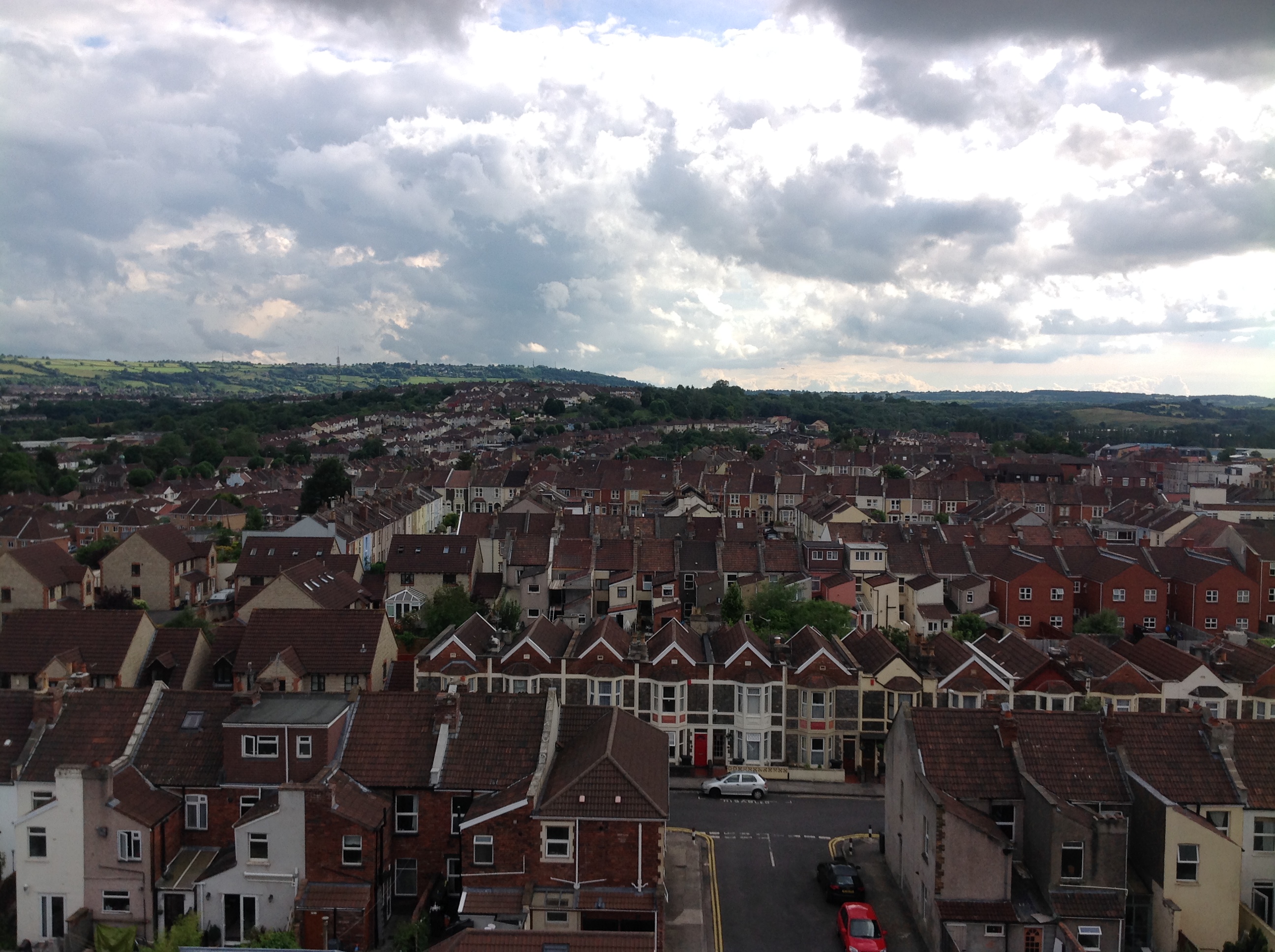
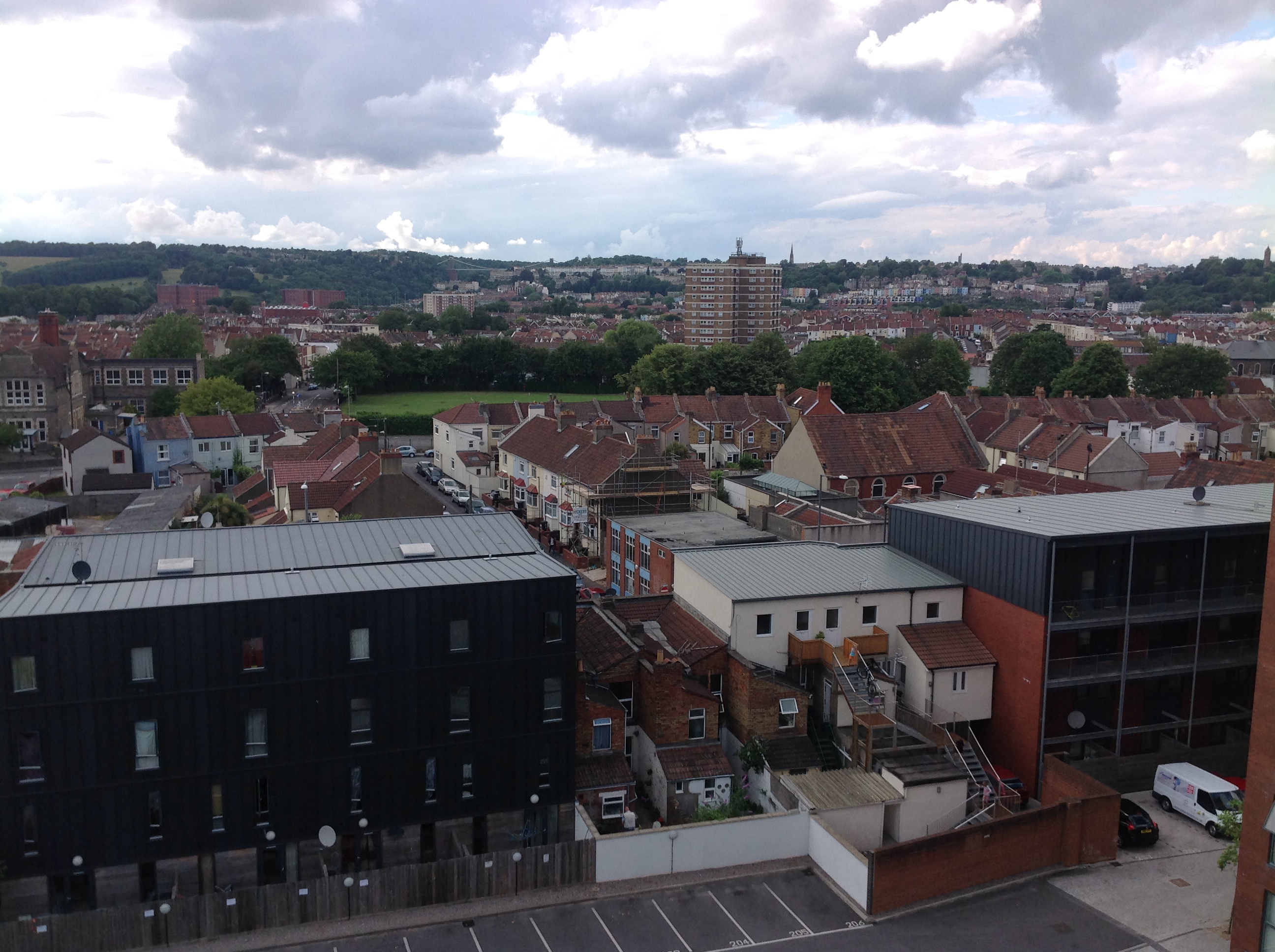 From the roof of the Airpoint building, Bedminster, looking north west with the Clifton Suspension Bridge in the distance. 28/06/2014 |
Class31 |
Sunday 29th of June 2014 09:36:57 AM |
 From the roof of the Airpoint building, Bedminster,looking along West Street, 28/06/2014 |
Class31 |
Sunday 29th of June 2014 09:30:07 AM |
 Looking south west from the roof of the Airpoint building over Argus Road, Bedminster, 28/06/2014 |
Class31 |
Sunday 29th of June 2014 09:13:49 AM |
 South Street School, Bedminster, 28/06/2014 |
Class31 |
Sunday 29th of June 2014 09:05:04 AM |
 South Street School, Bedminster, 28/06/2014 |
Class31 |
Sunday 29th of June 2014 08:59:12 AM |
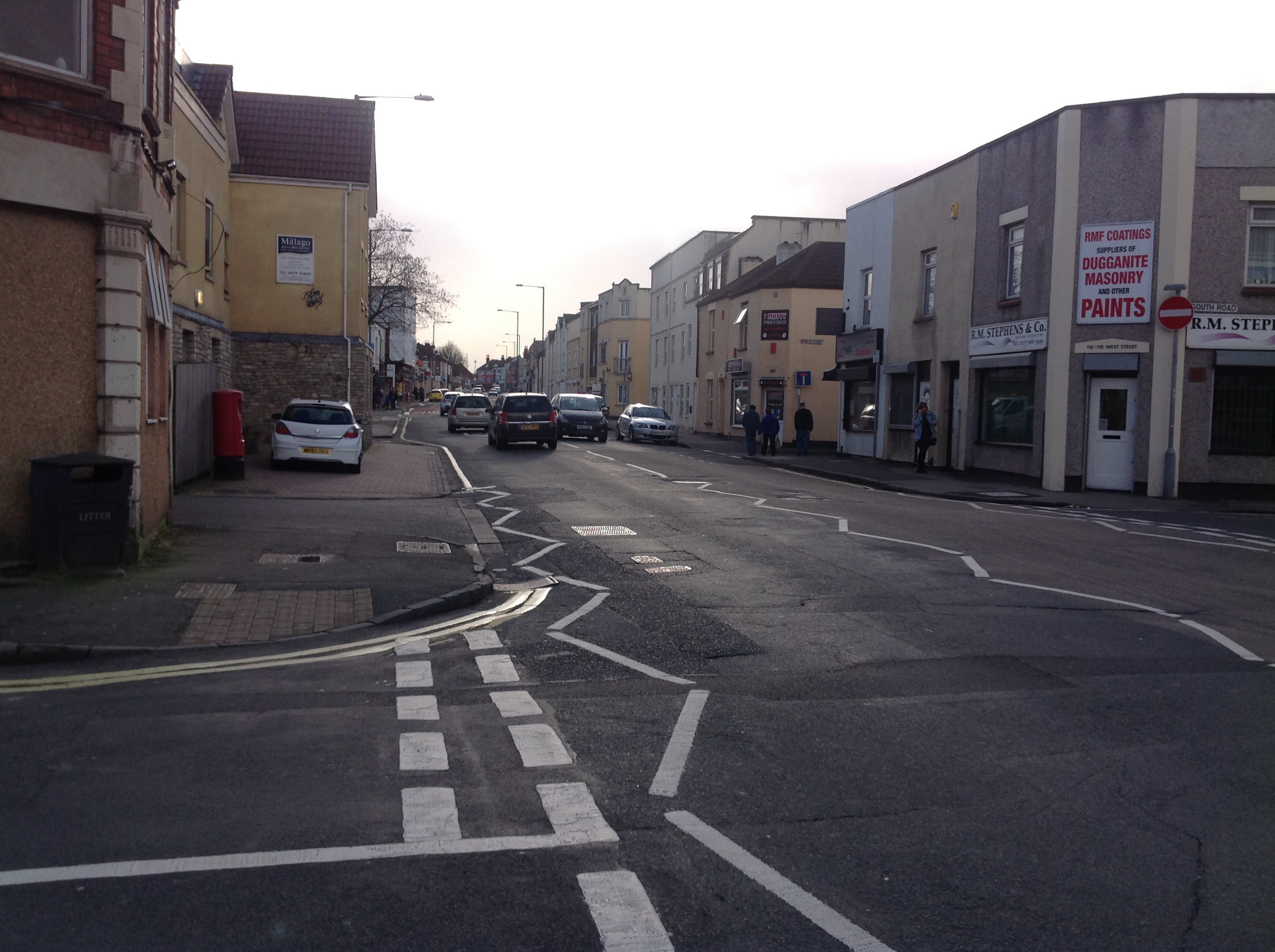 West Street at the South Road Junction looking west 27/2/2014 |
Class31 |
Saturday 1st of March 2014 08:52:03 PM |
I was born in 1 Lime Road but the family removed from there shortly before WW2. It has been very difficult identifying correctly the named roads. North Street is virtually invisible but ultimately provided the basis of my interpretation. It is a fascinating picture! |
kent2 |
Thursday 13th of December 2012 09:31:36 AM |