
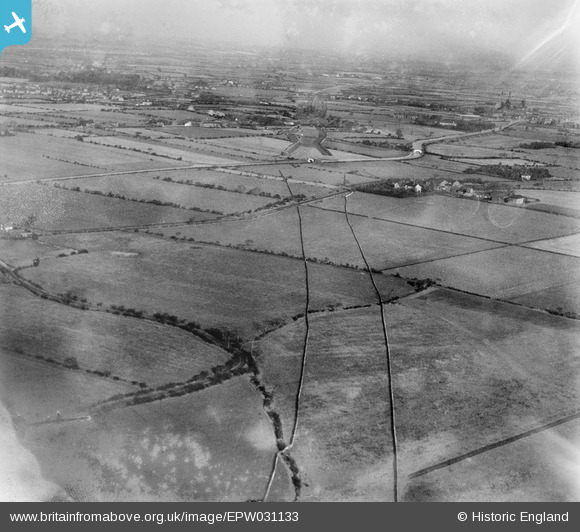
epw031133 ENGLAND (1929). The A580 under construction, Town Lane, from the south-west, 1929
© Copyright OpenStreetMap contributors and licensed by the OpenStreetMap Foundation. 2025. Cartography is licensed as CC BY-SA.
Nearby Images (2)
EPW031133

EPW031134

Details
| Title | [EPW031133] The A580 under construction, Town Lane, from the south-west, 1929 |
| Reference | EPW031133 |
| Date | October-1929 |
| Link | |
| Place name | TOWN LANE |
| Parish | |
| District | |
| Country | ENGLAND |
| Easting / Northing | 368410, 399003 |
| Longitude / Latitude | -2.4761337956364, 53.486541119445 |
| National Grid Reference | SJ684990 |
Pins
 AD |
Friday 19th of October 2012 04:36:50 PM |