
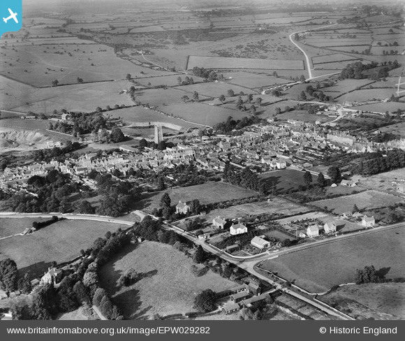
epw029282 ENGLAND (1929). The town, Chipping Sodbury, from the south-west, 1929
© Copyright OpenStreetMap contributors and licensed by the OpenStreetMap Foundation. 2024. Cartography is licensed as CC BY-SA.
Details
| Title | [EPW029282] The town, Chipping Sodbury, from the south-west, 1929 |
| Reference | EPW029282 |
| Date | September-1929 |
| Link | |
| Place name | CHIPPING SODBURY |
| Parish | SODBURY |
| District | |
| Country | ENGLAND |
| Easting / Northing | 372565, 181875 |
| Longitude / Latitude | -2.3955829949153, 51.534633021846 |
| National Grid Reference | ST726819 |
Pins
Be the first to add a comment to this image!
User Comment Contributions
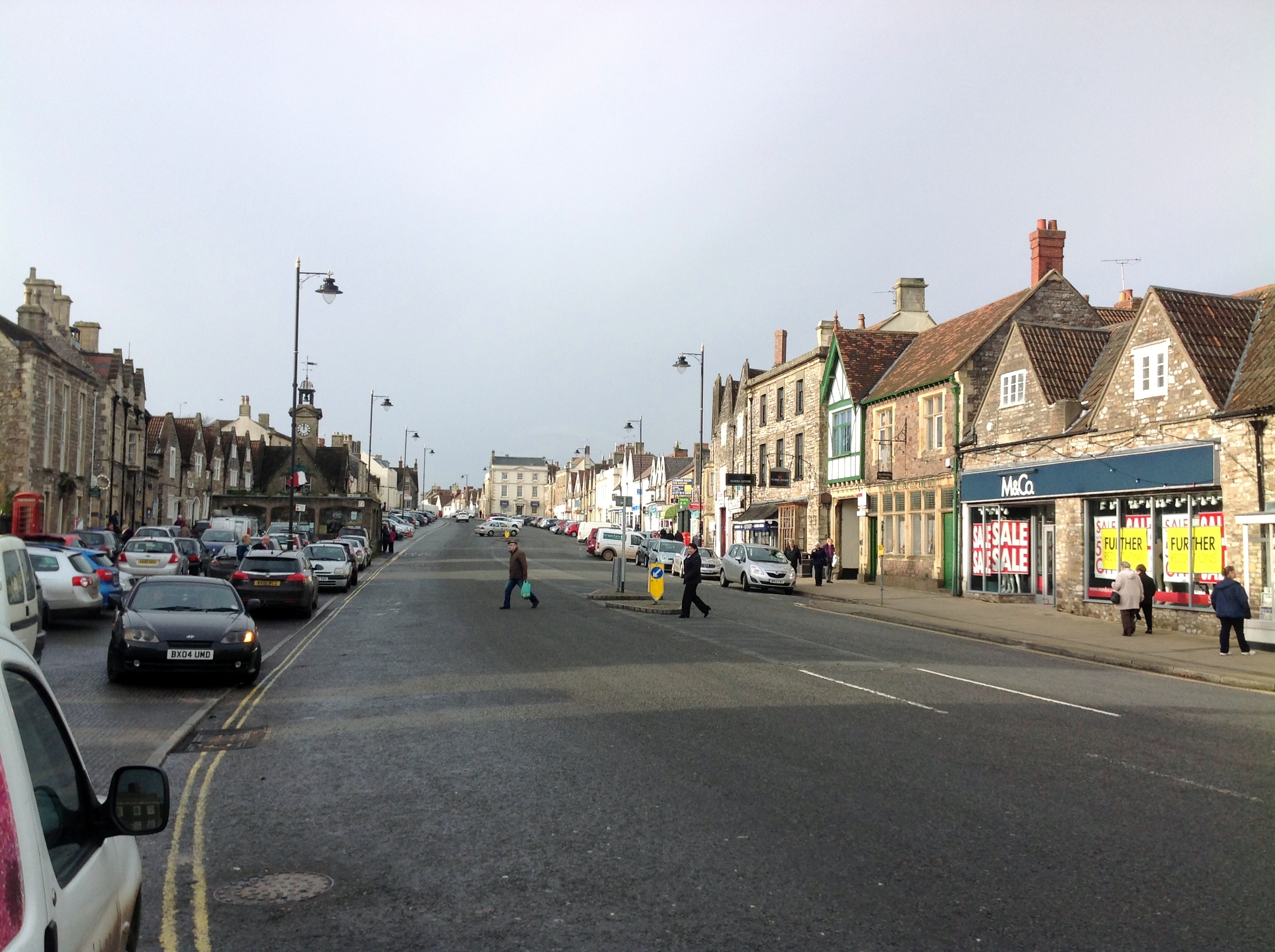 High Street looking west 08/01/2014 12.03hrs |
 Class31 |
Thursday 9th of January 2014 07:20:37 PM |