
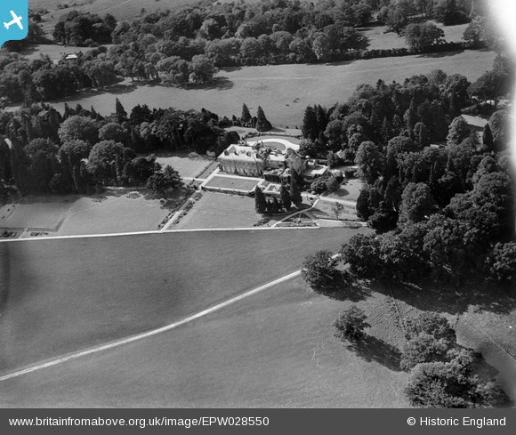
epw028550 ENGLAND (1929). Shernfold Park, Frant, 1929
© Copyright OpenStreetMap contributors and licensed by the OpenStreetMap Foundation. 2026. Cartography is licensed as CC BY-SA.
Nearby Images (2)
EPW028550

EPW028551

Details
| Title | [EPW028550] Shernfold Park, Frant, 1929 |
| Reference | EPW028550 |
| Date | August-1929 |
| Link | |
| Place name | FRANT |
| Parish | FRANT |
| District | |
| Country | ENGLAND |
| Easting / Northing | 559107, 134904 |
| Longitude / Latitude | 0.27224457851941, 51.090816833342 |
| National Grid Reference | TQ591349 |
Pins
Be the first to add a comment to this image!