
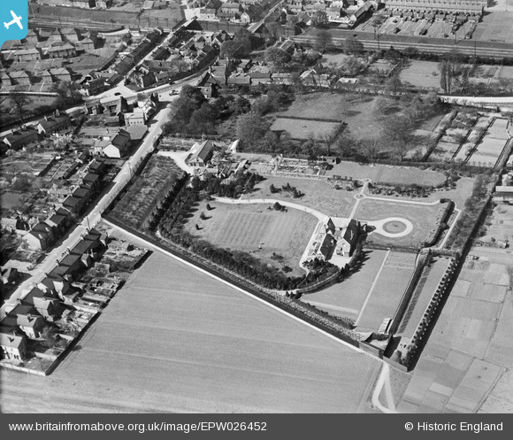
epw026452 ENGLAND (1929). Lawns House on The Baulk, Biggleswade, 1929
© Copyright OpenStreetMap contributors and licensed by the OpenStreetMap Foundation. 2026. Cartography is licensed as CC BY-SA.
Details
| Title | [EPW026452] Lawns House on The Baulk, Biggleswade, 1929 |
| Reference | EPW026452 |
| Date | May-1929 |
| Link | |
| Place name | BIGGLESWADE |
| Parish | BIGGLESWADE |
| District | |
| Country | ENGLAND |
| Easting / Northing | 519423, 244716 |
| Longitude / Latitude | -0.25678901853619, 52.087478030325 |
| National Grid Reference | TL194447 |
