
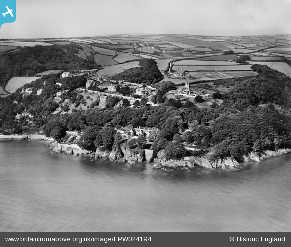
epw024194 ENGLAND (1928). Moult Road and environs, Salcombe, from the south-east, 1928
© Copyright OpenStreetMap contributors and licensed by the OpenStreetMap Foundation. 2026. Cartography is licensed as CC BY-SA.
Details
| Title | [EPW024194] Moult Road and environs, Salcombe, from the south-east, 1928 |
| Reference | EPW024194 |
| Date | September-1928 |
| Link | |
| Place name | KINGSWEAR |
| Parish | SALCOMBE |
| District | |
| Country | ENGLAND |
| Easting / Northing | 273029, 37902 |
| Longitude / Latitude | -3.7802902414529, 50.226847119047 |
| National Grid Reference | SX730379 |
Pins

stephen |
Tuesday 11th of December 2012 04:28:16 PM |