
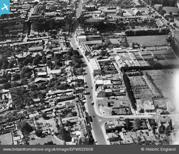
epw022608 ENGLAND (1928). High Street, Slough, 1928
© Copyright OpenStreetMap contributors and licensed by the OpenStreetMap Foundation. 2026. Cartography is licensed as CC BY-SA.
Details
| Title | [EPW022608] High Street, Slough, 1928 |
| Reference | EPW022608 |
| Date | 11-August-1928 |
| Link | |
| Place name | SLOUGH |
| Parish | |
| District | |
| Country | ENGLAND |
| Easting / Northing | 498179, 179679 |
| Longitude / Latitude | -0.58519126486283, 51.507020036295 |
| National Grid Reference | SU982797 |
Pins
User Comment Contributions
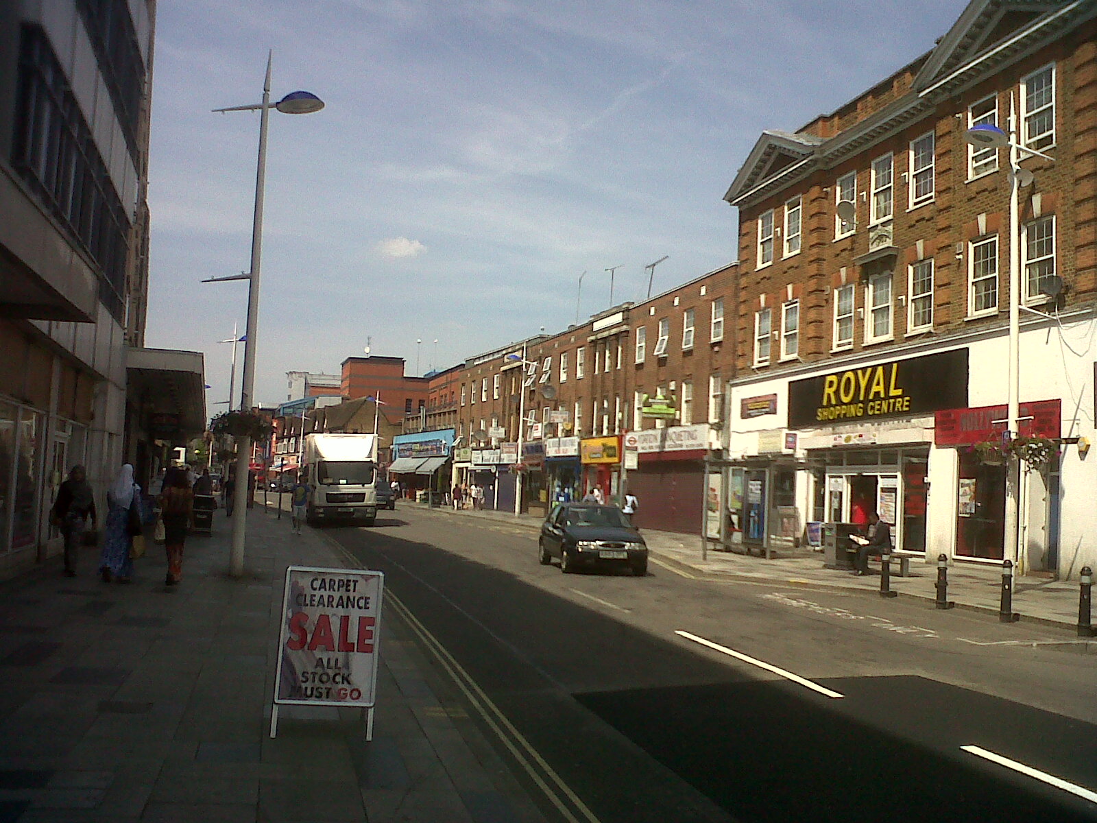
High Street , Slough looking west. Photograph taken yesterday. |

Class31 |
Wednesday 17th of July 2013 08:42:39 AM |

High Street, Slough looking west showing the curved building at the junction of High Street and Wexham Road. |
Class31 |
Wednesday 17th of July 2013 08:40:16 AM |
Tag shown is the original Lloyds Bank building |

PJL |
Saturday 20th of October 2012 06:15:20 AM |