epw022594 ENGLAND (1928). Nechells Power Station, Birmingham, from the north, 1928
© Copyright OpenStreetMap contributors and licensed by the OpenStreetMap Foundation. 2025. Cartography is licensed as CC BY-SA.
Details
| Title | [EPW022594] Nechells Power Station, Birmingham, from the north, 1928 |
| Reference | EPW022594 |
| Date | 7-August-1928 |
| Link | |
| Place name | BIRMINGHAM |
| Parish | |
| District | |
| Country | ENGLAND |
| Easting / Northing | 409836, 289872 |
| Longitude / Latitude | -1.8550691223285, 52.506288727313 |
| National Grid Reference | SP098899 |
Pins
 Martin |
Thursday 27th of March 2014 08:41:59 AM | |
 stevebirch |
Wednesday 19th of February 2014 01:18:25 AM | |
 PURCELL |
Saturday 16th of November 2013 08:43:48 PM | |
 PURCELL |
Saturday 16th of November 2013 01:30:47 AM | |
 Paulie |
Tuesday 4th of September 2012 11:13:19 PM | |
 Paulie |
Tuesday 4th of September 2012 11:12:18 PM | |
 Paulie |
Tuesday 4th of September 2012 11:11:24 PM | |
 Roger M. |
Sunday 12th of August 2012 10:59:30 PM |
User Comment Contributions
 Paulie |
Wednesday 5th of September 2012 10:53:40 PM | |
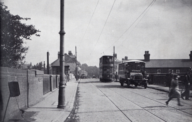
 1924 Salford Bridge looking towards Gravelly Hill. The present bridge was opened in 1926. |
 Paulie |
Wednesday 5th of September 2012 10:21:45 PM |
.jpg) 1971 Spaghetti Junction. Work started in 1968 and took four years to complete. |
 Paulie |
Wednesday 5th of September 2012 10:49:17 PM |
 (640x421).jpg) 1972 The men who built Spaghetti Junction. |
 Paulie |
Wednesday 5th of September 2012 10:53:40 PM |


