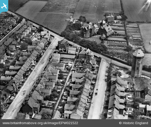
epw021522 ENGLAND (1928). Glebe House and environs, Hunstanton, 1928
© Copyright OpenStreetMap contributors and licensed by the OpenStreetMap Foundation. 2025. Cartography is licensed as CC BY-SA.
Details
| Title | [EPW021522] Glebe House and environs, Hunstanton, 1928 |
| Reference | EPW021522 |
| Date | June-1928 |
| Link | |
| Place name | HUNSTANTON |
| Parish | HUNSTANTON |
| District | |
| Country | ENGLAND |
| Easting / Northing | 567651, 341341 |
| Longitude / Latitude | 0.49530488638146, 52.942916043813 |
| National Grid Reference | TF677413 |
Pins
 melgibbs |
Thursday 12th of March 2015 03:37:07 PM | |
 Toplotdog |
Saturday 28th of June 2014 10:12:39 PM | |
 Toplotdog |
Saturday 28th of June 2014 10:11:05 PM |

