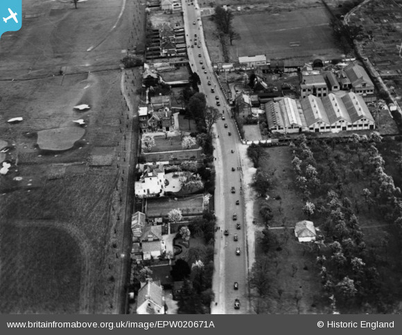
epw020671a ENGLAND (1928). Kingston Road (Roehampton Vale) by the KLG Sparking Plug Works, Putney Vale, 1928. This image has been produced from a print.
© Copyright OpenStreetMap contributors and licensed by the OpenStreetMap Foundation. 2025. Cartography is licensed as CC BY-SA.
Details
| Title | [EPW020671A] Kingston Road (Roehampton Vale) by the KLG Sparking Plug Works, Putney Vale, 1928. This image has been produced from a print. |
| Reference | EPW020671A |
| Date | March-1928 |
| Link | |
| Place name | PUTNEY VALE |
| Parish | |
| District | |
| Country | ENGLAND |
| Easting / Northing | 521817, 172583 |
| Longitude / Latitude | -0.24715764607299, 51.438636989508 |
| National Grid Reference | TQ218726 |
Pins
 dogsbody |
Saturday 14th of January 2017 02:58:42 AM | |
 SS10 |
Sunday 17th of July 2016 12:28:23 PM | |
 Adam Gray |
Wednesday 22nd of April 2015 12:13:08 AM | |
 Adam Gray |
Wednesday 22nd of April 2015 12:12:46 AM | |
 Adam Gray |
Wednesday 22nd of April 2015 12:12:12 AM | |
 Adam Gray |
Wednesday 22nd of April 2015 12:11:59 AM | |
 Adam Gray |
Wednesday 22nd of April 2015 12:11:34 AM |

