
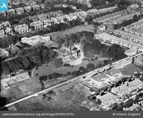
epw019761 ENGLAND (1927). Coxlodge Hall, Gosforth, 1927
© Copyright OpenStreetMap contributors and licensed by the OpenStreetMap Foundation. 2025. Cartography is licensed as CC BY-SA.
Details
| Title | [EPW019761] Coxlodge Hall, Gosforth, 1927 |
| Reference | EPW019761 |
| Date | 18-October-1927 |
| Link | |
| Place name | GOSFORTH |
| Parish | |
| District | |
| Country | ENGLAND |
| Easting / Northing | 424204, 567187 |
| Longitude / Latitude | -1.6216021289246, 54.998597236235 |
| National Grid Reference | NZ242672 |
Pins
Be the first to add a comment to this image!