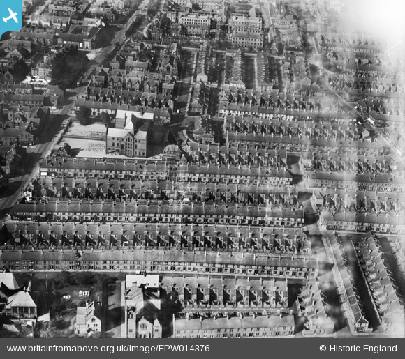
epw014376 ENGLAND (1925). Westgate Hill School and environs, Newcastle upon Tyne, 1925
© Copyright OpenStreetMap contributors and licensed by the OpenStreetMap Foundation. 2024. Cartography is licensed as CC BY-SA.
Details
| Title | [EPW014376] Westgate Hill School and environs, Newcastle upon Tyne, 1925 |
| Reference | EPW014376 |
| Date | September-1925 |
| Link | |
| Place name | NEWCASTLE UPON TYNE |
| Parish | |
| District | |
| Country | ENGLAND |
| Easting / Northing | 423261, 564470 |
| Longitude / Latitude | -1.6365650329261, 54.97422435354 |
| National Grid Reference | NZ233645 |


