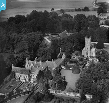
epw011118 ENGLAND (1924). St James's Church and Avebury Manor, Avebury, 1924
© Copyright OpenStreetMap contributors and licensed by the OpenStreetMap Foundation. 2024. Cartography is licensed as CC BY-SA.
Nearby Images (9)
Details
| Title | [EPW011118] St James's Church and Avebury Manor, Avebury, 1924 |
| Reference | EPW011118 |
| Date | July-1924 |
| Link | |
| Place name | AVEBURY |
| Parish | AVEBURY |
| District | |
| Country | ENGLAND |
| Easting / Northing | 409970, 170006 |
| Longitude / Latitude | -1.8565769780381, 51.428479737497 |
| National Grid Reference | SU100700 |
Pins
Katy Whitaker |
Saturday 10th of May 2014 12:43:35 PM | |
 Gapim |
Sunday 12th of May 2013 03:30:50 PM | |
 Class31 |
Wednesday 4th of July 2012 01:49:17 PM | |
 James Harrison |
Sunday 1st of July 2012 12:12:39 PM | |
 James Harrison |
Sunday 1st of July 2012 12:11:56 PM | |
 James Harrison |
Sunday 1st of July 2012 12:11:35 PM | |
 James Harrison |
Sunday 1st of July 2012 12:09:21 PM |
User Comment Contributions
 South elevation, Avebury Manor, 06/09/2013 |
 Class31 |
Friday 6th of September 2013 06:58:04 PM |
 From the kitchen garden 06/09/2013 |
 Class31 |
Friday 6th of September 2013 06:54:13 PM |
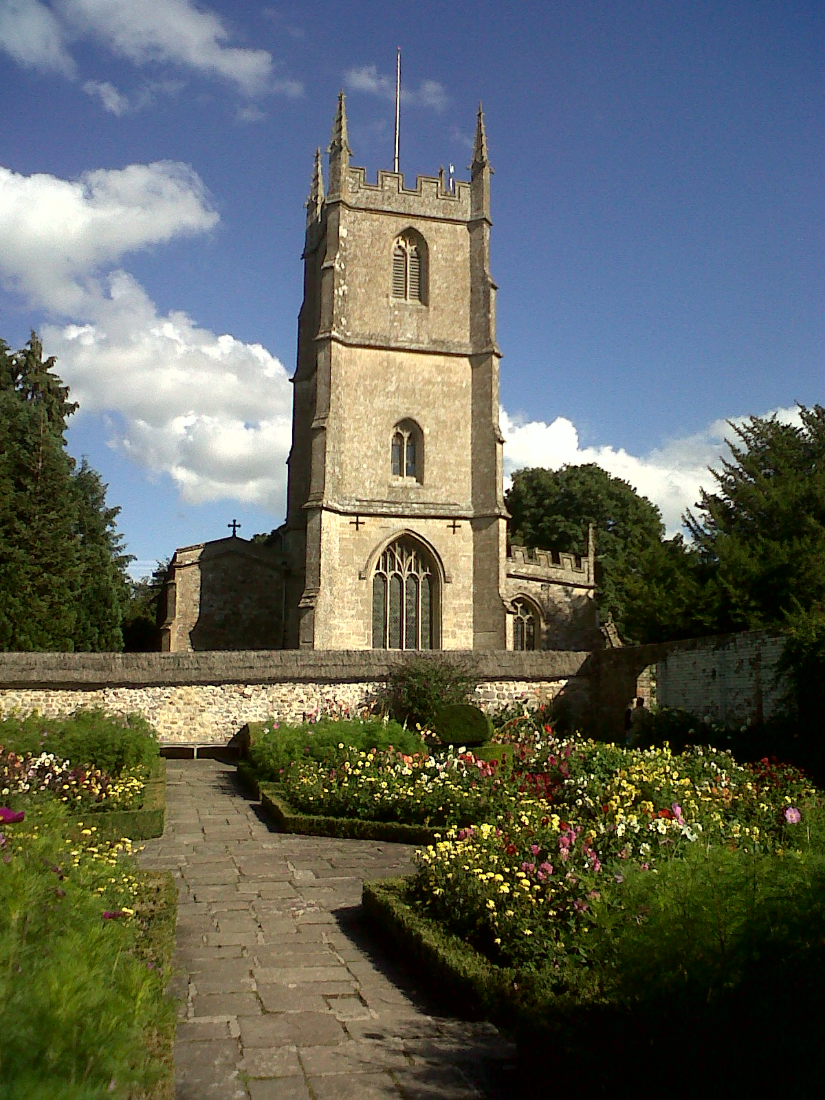
 St. James's Church today 06/09/2013 |
 Class31 |
Friday 6th of September 2013 06:52:39 PM |
 West Library today 06/09/2013 |
 Class31 |
Friday 6th of September 2013 06:50:34 PM |
Sandra Brauer |
Thursday 29th of November 2012 02:35:02 PM |


![[EPW011118] St James's Church and Avebury Manor, Avebury, 1924](http://britainfromabove.org.uk/sites/all/libraries/aerofilms-images/public/100x100/EPW/011/EPW011118.jpg)
![[EAW007054] St James's Church and the High Street, Avebury, 1947](http://britainfromabove.org.uk/sites/all/libraries/aerofilms-images/public/100x100/EAW/007/EAW007054.jpg)
![[EAW049153] The village and the henge monument, Avebury, 1953](http://britainfromabove.org.uk/sites/all/libraries/aerofilms-images/public/100x100/EAW/049/EAW049153.jpg)
![[EAW007058] Part of Avebury Henge and Stone Circles, Avebury, 1947](http://britainfromabove.org.uk/sites/all/libraries/aerofilms-images/public/100x100/EAW/007/EAW007058.jpg)
![[EAW007048] Avebury Henge and Stone Circles surrounding the village, Avebury, 1947](http://britainfromabove.org.uk/sites/all/libraries/aerofilms-images/public/100x100/EAW/007/EAW007048.jpg)
![[EAW049152] The village and the henge monument, Avebury, 1953](http://britainfromabove.org.uk/sites/all/libraries/aerofilms-images/public/100x100/EAW/049/EAW049152.jpg)
![[EAW007056] The Red Lion Inn, Avebury, 1947](http://britainfromabove.org.uk/sites/all/libraries/aerofilms-images/public/100x100/EAW/007/EAW007056.jpg)
![[EAW007047] Avebury Henge and Stone Circles surrounding the village, Avebury, 1947](http://britainfromabove.org.uk/sites/all/libraries/aerofilms-images/public/100x100/EAW/007/EAW007047.jpg)
![[EAW049151] The village and the southern half of the henge monument, Avebury, 1953](http://britainfromabove.org.uk/sites/all/libraries/aerofilms-images/public/100x100/EAW/049/EAW049151.jpg)
