
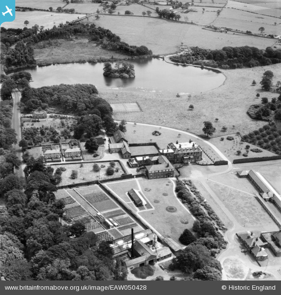
eaw050428 ENGLAND (1953). Wrightington Hospital, Wrightington, 1953
© Copyright OpenStreetMap contributors and licensed by the OpenStreetMap Foundation. 2025. Cartography is licensed as CC BY-SA.
Nearby Images (3)
EAW050428

EAW050429

EAW050427

Details
| Title | [EAW050428] Wrightington Hospital, Wrightington, 1953 |
| Reference | EAW050428 |
| Date | 7-July-1953 |
| Link | |
| Place name | WRIGHTINGTON |
| Parish | WRIGHTINGTON |
| District | |
| Country | ENGLAND |
| Easting / Northing | 353179, 410679 |
| Longitude / Latitude | -2.7074313513947, 53.590358528762 |
| National Grid Reference | SD532107 |
Pins
Be the first to add a comment to this image!