
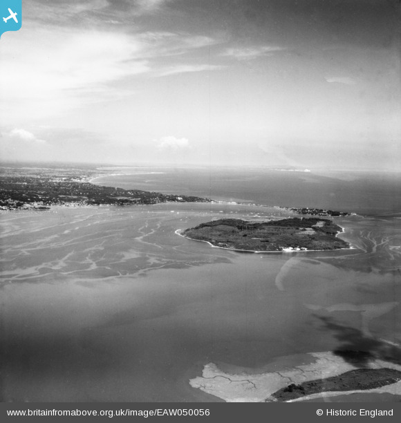
eaw050056 ENGLAND (1953). Brownsea Island and Poole Bay, Poole Harbour, from the west, 1953
© Copyright OpenStreetMap contributors and licensed by the OpenStreetMap Foundation. 2024. Cartography is licensed as CC BY-SA.
Details
| Title | [EAW050056] Brownsea Island and Poole Bay, Poole Harbour, from the west, 1953 |
| Reference | EAW050056 |
| Date | 18-June-1953 |
| Link | |
| Place name | POOLE HARBOUR |
| Parish | CORFE CASTLE |
| District | |
| Country | ENGLAND |
| Easting / Northing | 400313, 88133 |
| Longitude / Latitude | -1.9955682024861, 50.69226844201 |
| National Grid Reference | SZ003881 |
Pins
Be the first to add a comment to this image!