
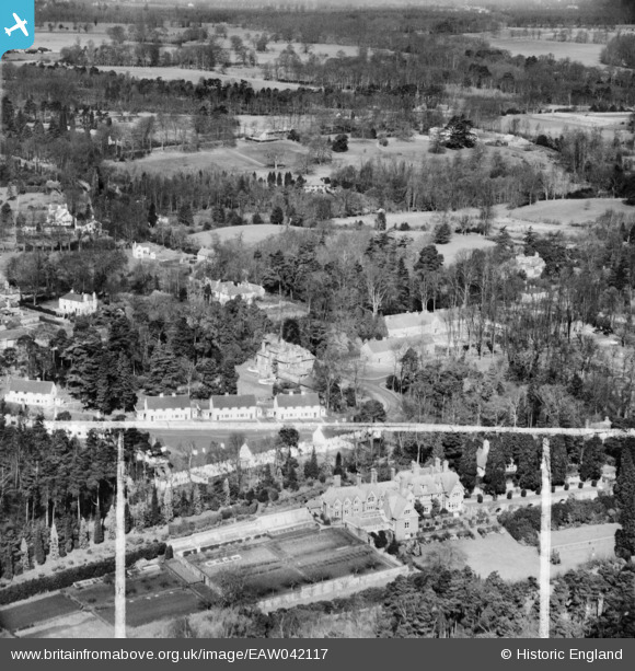
eaw042117 ENGLAND (1952). The Marist Convent and the surrounding area, Sunninghill, from the south-east, 1952. This image was marked by Aerofilms Ltd for photo editing.
© Copyright OpenStreetMap contributors and licensed by the OpenStreetMap Foundation. 2024. Cartography is licensed as CC BY-SA.
Nearby Images (16)
EAW042117

EAW042689

EAW042685

EAW042683

EAW042682

EAW042688

EAW042687

EAW042690

EAW042684

EAW042115

EAW042686

EAW042112

EAW042118

EAW042113

EAW042114

EAW042116

Details
| Title | [EAW042117] The Marist Convent and the surrounding area, Sunninghill, from the south-east, 1952. This image was marked by Aerofilms Ltd for photo editing. |
| Reference | EAW042117 |
| Date | 27-March-1952 |
| Link | |
| Place name | SUNNINGHILL |
| Parish | SUNNINGHILL AND ASCOT |
| District | |
| Country | ENGLAND |
| Easting / Northing | 493925, 168023 |
| Longitude / Latitude | -0.64957078793995, 51.402955036279 |
| National Grid Reference | SU939680 |
Pins
Be the first to add a comment to this image!