
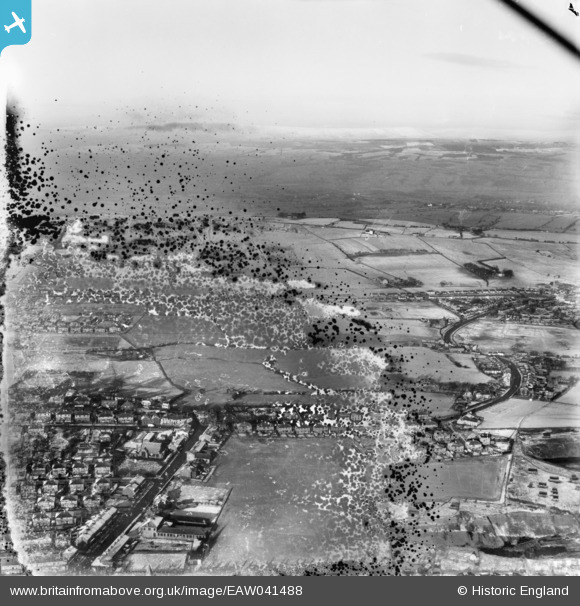
eaw041488 ENGLAND (1952). Four Lane Ends, Pleckgate Road and surrounding countryside, Blackburn, from the south, 1952. This image has been produced from a damaged negative.
© Copyright OpenStreetMap contributors and licensed by the OpenStreetMap Foundation. 2025. Cartography is licensed as CC BY-SA.
Details
| Title | [EAW041488] Four Lane Ends, Pleckgate Road and surrounding countryside, Blackburn, from the south, 1952. This image has been produced from a damaged negative. |
| Reference | EAW041488 |
| Date | 3-January-1952 |
| Link | |
| Place name | BLACKBURN |
| Parish | |
| District | |
| Country | ENGLAND |
| Easting / Northing | 368018, 429577 |
| Longitude / Latitude | -2.485183719164, 53.761345731643 |
| National Grid Reference | SD680296 |
Pins
Be the first to add a comment to this image!