
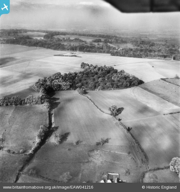
eaw041216 ENGLAND (1951). Higgins's Copse, Cumnor, from the south-east, 1951
© Copyright OpenStreetMap contributors and licensed by the OpenStreetMap Foundation. 2025. Cartography is licensed as CC BY-SA.
Details
| Title | [EAW041216] Higgins's Copse, Cumnor, from the south-east, 1951 |
| Reference | EAW041216 |
| Date | 10-November-1951 |
| Link | |
| Place name | CUMNOR |
| Parish | CUMNOR |
| District | |
| Country | ENGLAND |
| Easting / Northing | 447472, 206455 |
| Longitude / Latitude | -1.3121864957985, 51.754317864659 |
| National Grid Reference | SP475065 |
Pins
Be the first to add a comment to this image!