
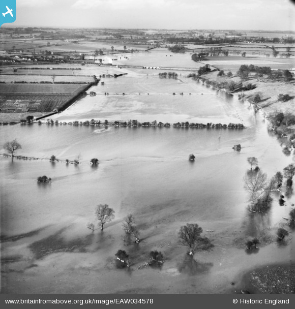
eaw034578 ENGLAND (1951). The River Great Ouse in flood, Olney, from the south, 1951
© Copyright OpenStreetMap contributors and licensed by the OpenStreetMap Foundation. 2025. Cartography is licensed as CC BY-SA.
Details
| Title | [EAW034578] The River Great Ouse in flood, Olney, from the south, 1951 |
| Reference | EAW034578 |
| Date | 6-March-1951 |
| Link | |
| Place name | OLNEY |
| Parish | OLNEY |
| District | |
| Country | ENGLAND |
| Easting / Northing | 489603, 250743 |
| Longitude / Latitude | -0.69033949558719, 52.147288369265 |
| National Grid Reference | SP896507 |
Pins

Richard Dawson |
Monday 8th of September 2014 01:54:59 PM | |
|
Richard Dawson |
Monday 8th of September 2014 01:54:32 PM |