
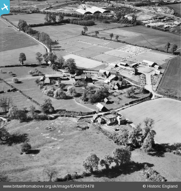
eaw029478 ENGLAND (1950). Bushey Grange Farm and Bushey Jewish Cemetery, Bushey, 1950
© Copyright OpenStreetMap contributors and licensed by the OpenStreetMap Foundation. 2025. Cartography is licensed as CC BY-SA.
Details
| Title | [EAW029478] Bushey Grange Farm and Bushey Jewish Cemetery, Bushey, 1950 |
| Reference | EAW029478 |
| Date | 12-May-1950 |
| Link | |
| Place name | BUSHEY |
| Parish | |
| District | |
| Country | ENGLAND |
| Easting / Northing | 513666, 196714 |
| Longitude / Latitude | -0.35659181841434, 51.657239024051 |
| National Grid Reference | TQ137967 |
Pins
Be the first to add a comment to this image!