
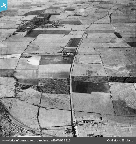
eaw028912 ENGLAND (1950). The Follies, Carrside Farm and the village, Appleby, 1950
© Copyright OpenStreetMap contributors and licensed by the OpenStreetMap Foundation. 2025. Cartography is licensed as CC BY-SA.
Details
| Title | [EAW028912] The Follies, Carrside Farm and the village, Appleby, 1950 |
| Reference | EAW028912 |
| Date | 5-May-1950 |
| Link | |
| Place name | APPLEBY |
| Parish | APPLEBY |
| District | |
| Country | ENGLAND |
| Easting / Northing | 496197, 413184 |
| Longitude / Latitude | -0.54595630390152, 53.606134593603 |
| National Grid Reference | SE962132 |
Pins

totoro |
Monday 17th of February 2014 04:05:09 PM | |
|
totoro |
Monday 17th of February 2014 04:04:37 PM | |
|
totoro |
Monday 17th of February 2014 04:03:55 PM | |
|
totoro |
Monday 17th of February 2014 04:02:13 PM | |
|
totoro |
Monday 17th of February 2014 03:59:45 PM | |
|
totoro |
Monday 17th of February 2014 03:51:42 PM | |
|
totoro |
Monday 17th of February 2014 03:45:28 PM | |
|
totoro |
Monday 17th of February 2014 03:44:54 PM | |
|
totoro |
Monday 17th of February 2014 03:42:07 PM | |
|
totoro |
Monday 17th of February 2014 03:41:47 PM | |
|
totoro |
Monday 17th of February 2014 03:40:43 PM |