
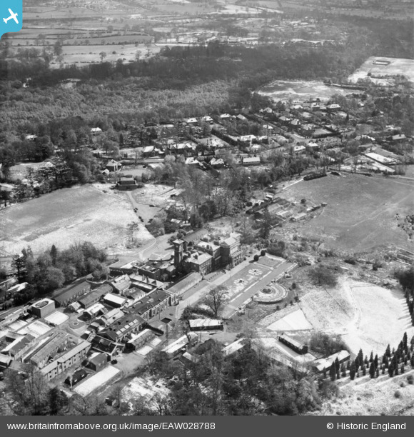
eaw028788 ENGLAND (1950). Bentley Priory and the surrounding area, Stanmore, 1950
© Copyright OpenStreetMap contributors and licensed by the OpenStreetMap Foundation. 2025. Cartography is licensed as CC BY-SA.
Nearby Images (2)
EAW028788

EPW021364

Details
| Title | [EAW028788] Bentley Priory and the surrounding area, Stanmore, 1950 |
| Reference | EAW028788 |
| Date | 25-April-1950 |
| Link | |
| Place name | STANMORE |
| Parish | |
| District | |
| Country | ENGLAND |
| Easting / Northing | 515580, 193340 |
| Longitude / Latitude | -0.33004606237452, 51.626521554062 |
| National Grid Reference | TQ156933 |
Pins

Matt Aldred edob.mattaldred.com |
Thursday 11th of July 2024 10:56:53 AM | |
|
Matt Aldred edob.mattaldred.com |
Tuesday 9th of March 2021 10:47:25 AM | |

Sparky |
Sunday 3rd of September 2017 05:04:09 PM | |
|
Sparky |
Wednesday 2nd of August 2017 02:19:20 PM | |

Ian K |
Sunday 23rd of February 2014 07:14:40 PM | |
|
Ian K |
Sunday 23rd of February 2014 07:08:29 PM | |
|
Ian K |
Sunday 23rd of February 2014 07:07:05 PM |