
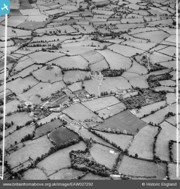
eaw027292 ENGLAND (1949). Perry House Farm and surrounding countryside, Chew Stoke, 1949. This image was marked by Aerofilms Ltd for photo editing.
© Copyright OpenStreetMap contributors and licensed by the OpenStreetMap Foundation. 2025. Cartography is licensed as CC BY-SA.
Details
| Title | [EAW027292] Perry House Farm and surrounding countryside, Chew Stoke, 1949. This image was marked by Aerofilms Ltd for photo editing. |
| Reference | EAW027292 |
| Date | 19-October-1949 |
| Link | |
| Place name | CHEW STOKE |
| Parish | CHEW STOKE |
| District | |
| Country | ENGLAND |
| Easting / Northing | 356027, 161105 |
| Longitude / Latitude | -2.6314495245107, 51.346821910926 |
| National Grid Reference | ST560611 |
Pins
User Comment Contributions
View looking east. |

Class31 |
Monday 17th of March 2014 11:26:42 AM |