
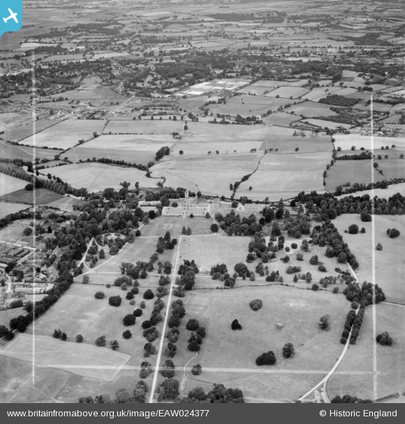
eaw024377 ENGLAND (1949). Canford School and Park, Canford Magna, from the south-east, 1949. This image was marked by Aerofilms Ltd for photo editing.
© Copyright OpenStreetMap contributors and licensed by the OpenStreetMap Foundation. 2025. Cartography is licensed as CC BY-SA.
Details
| Title | [EAW024377] Canford School and Park, Canford Magna, from the south-east, 1949. This image was marked by Aerofilms Ltd for photo editing. |
| Reference | EAW024377 |
| Date | 6-July-1949 |
| Link | |
| Place name | MERLEY |
| Parish | |
| District | |
| Country | ENGLAND |
| Easting / Northing | 403568, 98550 |
| Longitude / Latitude | -1.9493794540914, 50.78594470364 |
| National Grid Reference | SZ036986 |
Pins

Class31 |
Monday 14th of July 2014 05:40:40 PM | |
|
Class31 |
Monday 14th of July 2014 05:39:49 PM | |

Peter Kazmierczak |
Wednesday 18th of December 2013 10:25:50 AM | |
|
Peter Kazmierczak |
Wednesday 18th of December 2013 10:23:46 AM | |
|
Peter Kazmierczak |
Wednesday 18th of December 2013 10:22:32 AM | |
|
Peter Kazmierczak |
Wednesday 18th of December 2013 10:21:27 AM | |
|
Peter Kazmierczak |
Wednesday 18th of December 2013 10:20:09 AM | |
|
Peter Kazmierczak |
Wednesday 18th of December 2013 10:17:54 AM | |
|
Peter Kazmierczak |
Wednesday 18th of December 2013 10:15:25 AM | |
|
Peter Kazmierczak |
Wednesday 18th of December 2013 10:14:04 AM |

