
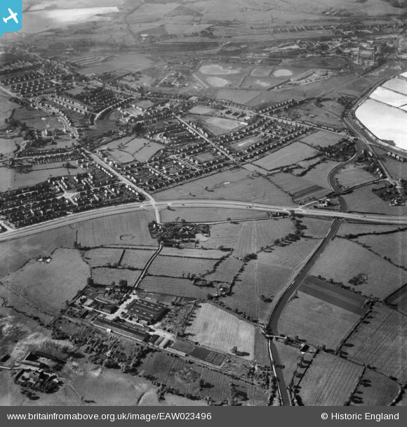
eaw023496 ENGLAND (1949). Rudheath and Shurlach Road, Rudheath, 1949
© Copyright OpenStreetMap contributors and licensed by the OpenStreetMap Foundation. 2025. Cartography is licensed as CC BY-SA.
Details
| Title | [EAW023496] Rudheath and Shurlach Road, Rudheath, 1949 |
| Reference | EAW023496 |
| Date | 26-May-1949 |
| Link | |
| Place name | RUDHEATH |
| Parish | RUDHEATH |
| District | |
| Country | ENGLAND |
| Easting / Northing | 367964, 372687 |
| Longitude / Latitude | -2.4801881901339, 53.24995060898 |
| National Grid Reference | SJ680727 |
Pins

Martin Wright |
Tuesday 18th of February 2014 01:30:49 PM | |
|
Martin Wright |
Tuesday 18th of February 2014 01:29:22 PM | |
|
Martin Wright |
Tuesday 18th of February 2014 01:28:35 PM |