
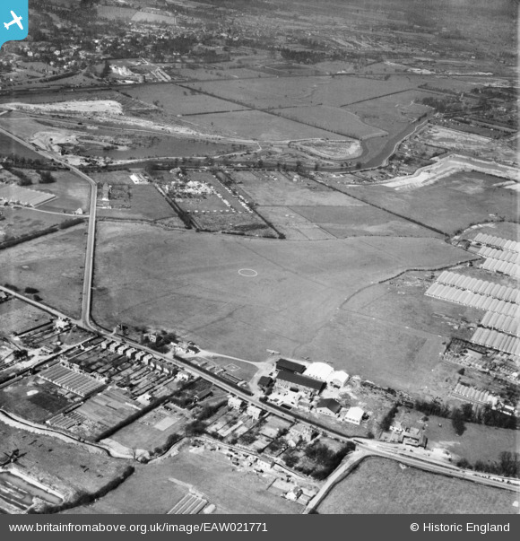
eaw021771 ENGLAND (1949). Broxbourne Aerodrome, Lower Nazeing, 1949
© Copyright OpenStreetMap contributors and licensed by the OpenStreetMap Foundation. 2024. Cartography is licensed as CC BY-SA.
Nearby Images (2)
EAW021771

EAW021770

Details
| Title | [EAW021771] Broxbourne Aerodrome, Lower Nazeing, 1949 |
| Reference | EAW021771 |
| Date | 1-April-1949 |
| Link | |
| Place name | LOWER NAZEING |
| Parish | NAZEING |
| District | |
| Country | ENGLAND |
| Easting / Northing | 538239, 206462 |
| Longitude / Latitude | 0.0023416676993761, 51.739334735737 |
| National Grid Reference | TL382065 |
Pins
Be the first to add a comment to this image!