
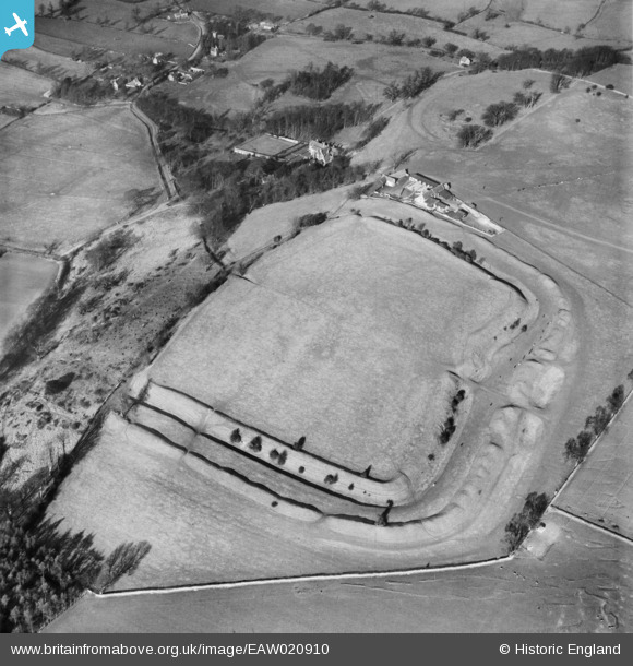
eaw020910 ENGLAND (1949). Sodbury Camp hill fort, Old Sodbury, 1949
© Copyright OpenStreetMap contributors and licensed by the OpenStreetMap Foundation. 2025. Cartography is licensed as CC BY-SA.
Nearby Images (6)
EAW020910

EAW020909

EAW020907

EAW020911

EAW020912

EAW020908

Details
| Title | [EAW020910] Sodbury Camp hill fort, Old Sodbury, 1949 |
| Reference | EAW020910 |
| Date | 4-February-1949 |
| Link | |
| Place name | OLD SODBURY |
| Parish | SODBURY |
| District | |
| Country | ENGLAND |
| Easting / Northing | 376058, 182588 |
| Longitude / Latitude | -2.3452672818828, 51.541203513782 |
| National Grid Reference | ST761826 |
Pins
Be the first to add a comment to this image!