
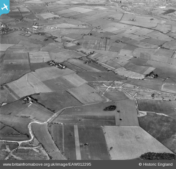
eaw012295 ENGLAND (1947). Part of RAF Burtonwood, Brook Head Farm and surrounding countryside, Burtonwood, 1947. This image has been produced from a print.
© Copyright OpenStreetMap contributors and licensed by the OpenStreetMap Foundation. 2024. Cartography is licensed as CC BY-SA.
Details
| Title | [EAW012295] Part of RAF Burtonwood, Brook Head Farm and surrounding countryside, Burtonwood, 1947. This image has been produced from a print. |
| Reference | EAW012295 |
| Date | 26-November-1947 |
| Link | |
| Place name | BURTONWOOD |
| Parish | BURTONWOOD AND WESTBROOK |
| District | |
| Country | ENGLAND |
| Easting / Northing | 357549, 392008 |
| Longitude / Latitude | -2.6388797924932, 53.422899094287 |
| National Grid Reference | SJ575920 |
Pins
Be the first to add a comment to this image!