
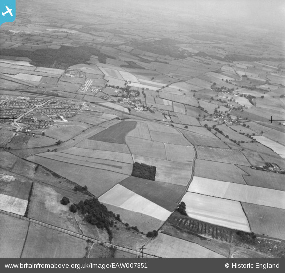
eaw007351 ENGLAND (1947). Countryside around Hage's Wood and the village, Bilsthorpe, from the west, 1947
© Copyright OpenStreetMap contributors and licensed by the OpenStreetMap Foundation. 2025. Cartography is licensed as CC BY-SA.
Details
| Title | [EAW007351] Countryside around Hage's Wood and the village, Bilsthorpe, from the west, 1947 |
| Reference | EAW007351 |
| Date | 24-June-1947 |
| Link | |
| Place name | BILSTHORPE |
| Parish | BILSTHORPE |
| District | |
| Country | ENGLAND |
| Easting / Northing | 464053, 360206 |
| Longitude / Latitude | -1.0424666256552, 53.134864602667 |
| National Grid Reference | SK641602 |
Pins
 NottmJas |
Saturday 3rd of February 2024 04:39:20 PM |