
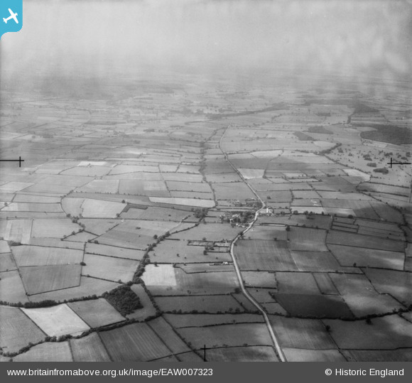
eaw007323 ENGLAND (1947). Countryside around the village and Hockerton Dumble, Hockerton, from the south-east, 1947
© Copyright OpenStreetMap contributors and licensed by the OpenStreetMap Foundation. 2024. Cartography is licensed as CC BY-SA.
Details
| Title | [EAW007323] Countryside around the village and Hockerton Dumble, Hockerton, from the south-east, 1947 |
| Reference | EAW007323 |
| Date | 24-June-1947 |
| Link | |
| Place name | HOCKERTON |
| Parish | HOCKERTON |
| District | |
| Country | ENGLAND |
| Easting / Northing | 472106, 355893 |
| Longitude / Latitude | -0.92307290192995, 53.095068645786 |
| National Grid Reference | SK721559 |
Pins
Be the first to add a comment to this image!