
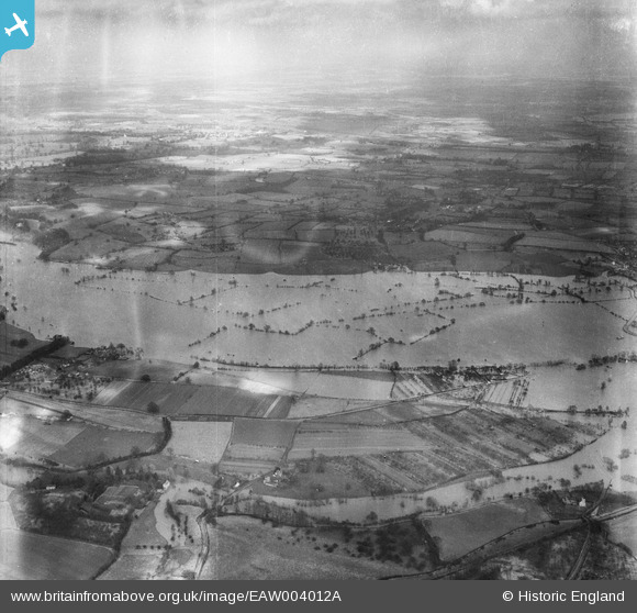
eaw004012a ENGLAND (1947). Flooding along the River Severn, Church End, from the west, 1947
© Copyright OpenStreetMap contributors and licensed by the OpenStreetMap Foundation. 2024. Cartography is licensed as CC BY-SA.
Details
| Title | [EAW004012A] Flooding along the River Severn, Church End, from the west, 1947 |
| Reference | EAW004012A |
| Date | 21-March-1947 |
| Link | |
| Place name | CHURCH END |
| Parish | HANLEY CASTLE |
| District | |
| Country | ENGLAND |
| Easting / Northing | 384344, 241289 |
| Longitude / Latitude | -2.2284286711605, 52.069331776294 |
| National Grid Reference | SO843413 |
Pins
Be the first to add a comment to this image!