
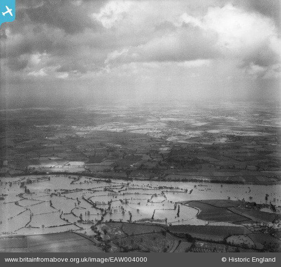
eaw004000 ENGLAND (1947). Flooding along the River Severn, Upper Ham, from the west, 1947
© Copyright OpenStreetMap contributors and licensed by the OpenStreetMap Foundation. 2024. Cartography is licensed as CC BY-SA.
Details
| Title | [EAW004000] Flooding along the River Severn, Upper Ham, from the west, 1947 |
| Reference | EAW004000 |
| Date | 21-March-1947 |
| Link | |
| Place name | UPPER HAM |
| Parish | KEMPSEY |
| District | |
| Country | ENGLAND |
| Easting / Northing | 385568, 251053 |
| Longitude / Latitude | -2.2109840742415, 52.157158100458 |
| National Grid Reference | SO856511 |
Pins
Be the first to add a comment to this image!