
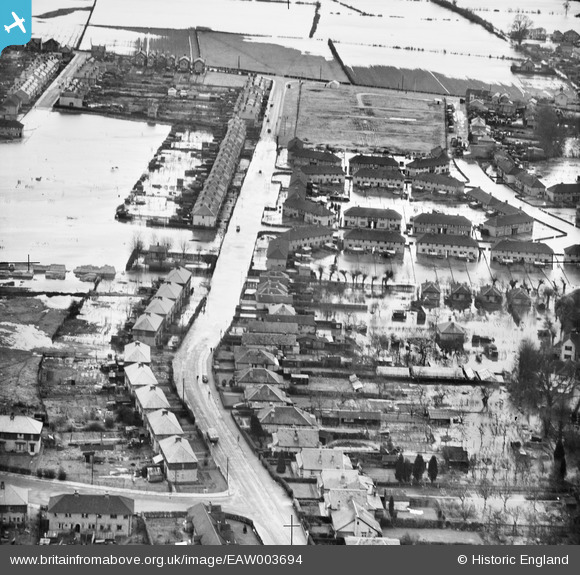
eaw003694 ENGLAND (1947). Flooding around Pooley Green Road, Egham, 1947
© Copyright OpenStreetMap contributors and licensed by the OpenStreetMap Foundation. 2025. Cartography is licensed as CC BY-SA.
Details
| Title | [EAW003694] Flooding around Pooley Green Road, Egham, 1947 |
| Reference | EAW003694 |
| Date | 18-March-1947 |
| Link | |
| Place name | EGHAM |
| Parish | |
| District | |
| Country | ENGLAND |
| Easting / Northing | 502069, 171092 |
| Longitude / Latitude | -0.531634279088, 51.429136994696 |
| National Grid Reference | TQ021711 |
Pins

Cuttin' |
Sunday 20th of December 2020 08:21:10 PM | |
|
Cuttin' |
Sunday 20th of December 2020 08:19:00 PM | |
|
Cuttin' |
Sunday 20th of December 2020 08:17:55 PM | |
|
Cuttin' |
Sunday 20th of December 2020 08:17:29 PM | |
|
Cuttin' |
Sunday 20th of December 2020 08:17:12 PM |