
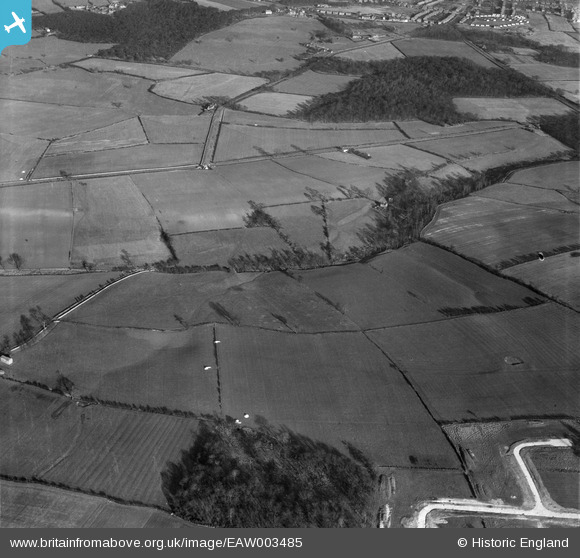
eaw003485 ENGLAND (1947). Fields between Monk Wood and Blackamoor Inn Plantation, Rawmarsh, 1947
© Copyright OpenStreetMap contributors and licensed by the OpenStreetMap Foundation. 2026. Cartography is licensed as CC BY-SA.
Nearby Images (2)
EAW003485

EAW003486

Details
| Title | [EAW003485] Fields between Monk Wood and Blackamoor Inn Plantation, Rawmarsh, 1947 |
| Reference | EAW003485 |
| Date | 12-January-1947 |
| Link | |
| Place name | RAWMARSH |
| Parish | |
| District | |
| Country | ENGLAND |
| Easting / Northing | 443353, 397685 |
| Longitude / Latitude | -1.3467637471044, 53.473856016304 |
| National Grid Reference | SK434977 |
Pins
 |

Aschofield |
Sunday 11th of February 2018 07:08:16 PM |