
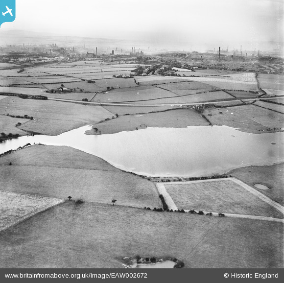
eaw002672 ENGLAND (1946). Rumworth Lodge Reservoir (Bolton Corporation Water Works), Chew Moor, from the west, 1946
© Copyright OpenStreetMap contributors and licensed by the OpenStreetMap Foundation. 2025. Cartography is licensed as CC BY-SA.
Details
| Title | [EAW002672] Rumworth Lodge Reservoir (Bolton Corporation Water Works), Chew Moor, from the west, 1946 |
| Reference | EAW002672 |
| Date | 11-September-1946 |
| Link | |
| Place name | CHEW MOOR |
| Parish | |
| District | |
| Country | ENGLAND |
| Easting / Northing | 367506, 407980 |
| Longitude / Latitude | -2.4906903998179, 53.567181144623 |
| National Grid Reference | SD675080 |
