
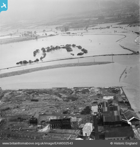
eaw002543 ENGLAND (1946). Flooded fields around an oxbow lake to the west of the confluence of the Rivers Aire and Calder, Castleford, 1946
© Copyright OpenStreetMap contributors and licensed by the OpenStreetMap Foundation. 2025. Cartography is licensed as CC BY-SA.
Nearby Images (2)
EAW002543

EAW002546

Details
| Title | [EAW002543] Flooded fields around an oxbow lake to the west of the confluence of the Rivers Aire and Calder, Castleford, 1946 |
| Reference | EAW002543 |
| Date | 21-September-1946 |
| Link | |
| Place name | CASTLEFORD |
| Parish | |
| District | |
| Country | ENGLAND |
| Easting / Northing | 442212, 426293 |
| Longitude / Latitude | -1.3600798755254, 53.731098894643 |
| National Grid Reference | SE422263 |
Pins
Be the first to add a comment to this image!