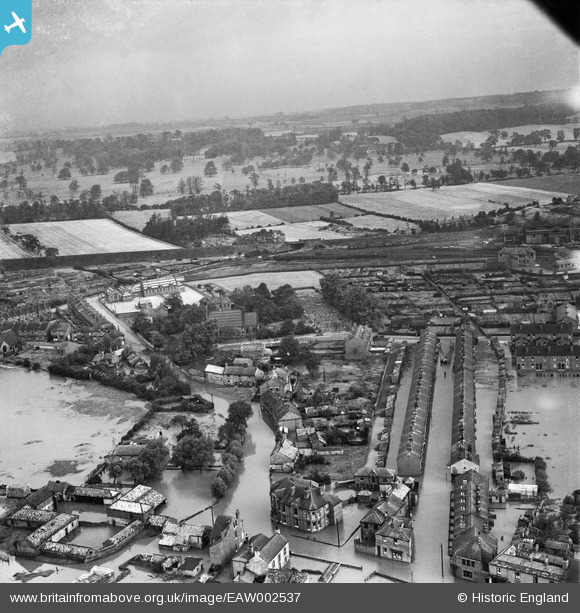
eaw002537 ENGLAND (1946). Flooding along Main Street and Victoria Street, Allerton Bywater, from the south-west, 1946
© Copyright OpenStreetMap contributors and licensed by the OpenStreetMap Foundation. 2024. Cartography is licensed as CC BY-SA.
Details
| Title | [EAW002537] Flooding along Main Street and Victoria Street, Allerton Bywater, from the south-west, 1946 |
| Reference | EAW002537 |
| Date | 21-September-1946 |
| Link | |
| Place name | ALLERTON BYWATER |
| Parish | ALLERTON BYWATER |
| District | |
| Country | ENGLAND |
| Easting / Northing | 441777, 427715 |
| Longitude / Latitude | -1.3664817024544, 53.743915647599 |
| National Grid Reference | SE418277 |


