
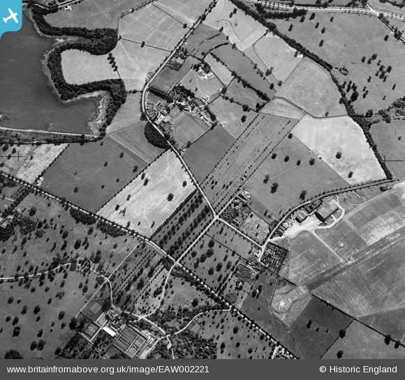
eaw002221 ENGLAND (1946). Dagger Lane and environs, Aldenham, 1946
© Copyright OpenStreetMap contributors and licensed by the OpenStreetMap Foundation. 2024. Cartography is licensed as CC BY-SA.
Details
| Title | [EAW002221] Dagger Lane and environs, Aldenham, 1946 |
| Reference | EAW002221 |
| Date | 15-August-1946 |
| Link | |
| Place name | ALDENHAM |
| Parish | ALDENHAM |
| District | |
| Country | ENGLAND |
| Easting / Northing | 516415, 196141 |
| Longitude / Latitude | -0.31705523867351, 51.651525932976 |
| National Grid Reference | TQ164961 |
Pins
 John W |
Friday 3rd of March 2017 09:52:51 PM |