
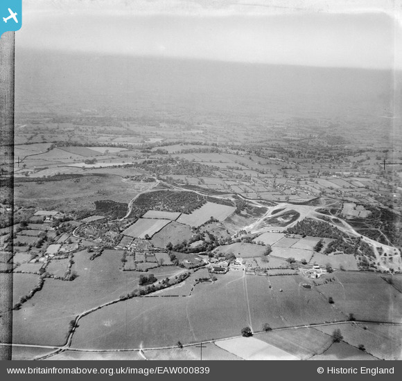
eaw000839 ENGLAND (1946). Bickerton Hill and surrounding countryside, Bickerton, from the east, 1946
© Copyright OpenStreetMap contributors and licensed by the OpenStreetMap Foundation. 2025. Cartography is licensed as CC BY-SA.
Details
| Title | [EAW000839] Bickerton Hill and surrounding countryside, Bickerton, from the east, 1946 |
| Reference | EAW000839 |
| Date | 12-May-1946 |
| Link | |
| Place name | BICKERTON |
| Parish | BICKERTON |
| District | |
| Country | ENGLAND |
| Easting / Northing | 350437, 352818 |
| Longitude / Latitude | -2.7398034926893, 53.069996272938 |
| National Grid Reference | SJ504528 |
Pins
Be the first to add a comment to this image!