
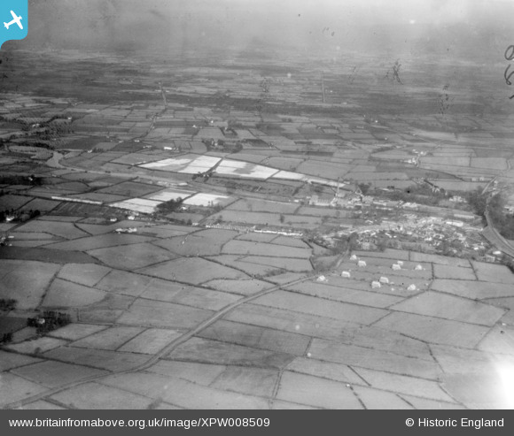
XPW008509 NORTHERN IRELAND (1923). General View, Randalstown, Antrim, Northern Ireland, 1923. Oblique aerial photograph taken facing North/East.
© Copyright OpenStreetMap contributors and licensed by the OpenStreetMap Foundation. 2026. Cartography is licensed as CC BY-SA.
Details
| Title | [XPW008509] General View, Randalstown, Antrim, Northern Ireland, 1923. Oblique aerial photograph taken facing North/East. |
| Reference | XPW008509 |
| Date | 1923 |
| Link | |
| Place name | RANDALSTOWN |
| Parish | NORTHERN IRELAND |
| District | |
| Country | NORTHERN IRELAND |
| Easting / Northing | 121467, 547894 |
| Longitude / Latitude | -6.329961, 54.748558 |
| National Grid Reference |
Pins
Be the first to add a comment to this image!