
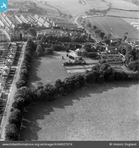
XAW027074 NORTHERN IRELAND (1949). Londonderry High School, The Collon, Derry, Northern Ireland, 1949. Oblique aerial photograph taken facing South/West.
© Copyright OpenStreetMap contributors and licensed by the OpenStreetMap Foundation. 2026. Cartography is licensed as CC BY-SA.
Nearby Images (6)
XAW027074

XAW027076

XAW027078

XAW027077

XAW027079

XAW027075

Details
| Title | [XAW027074] Londonderry High School, The Collon, Derry, Northern Ireland, 1949. Oblique aerial photograph taken facing South/West. |
| Reference | XAW027074 |
| Date | 4-October-1949 |
| Link | |
| Place name | THE COLLON |
| Parish | NORTHERN IRELAND |
| District | |
| Country | NORTHERN IRELAND |
| Easting / Northing | 59704, 581300 |
| Longitude / Latitude | -7.324994, 55.009493 |
| National Grid Reference |
Pins
Be the first to add a comment to this image!