
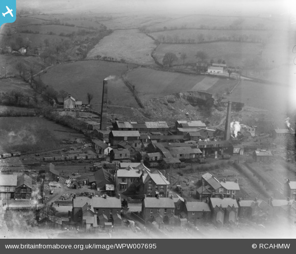
WPW007695 WALES (1922). View of the New Cwmgorse Colliery, Cwmgors, oblique aerial view. 5"x4" black and white glass plate negative.
© Copyright OpenStreetMap contributors and licensed by the OpenStreetMap Foundation. 2025. Cartography is licensed as CC BY-SA.
Nearby Images (3)
WPW007694

WPW007695

WPW007696

Details
| Title | [WPW007695] View of the New Cwmgorse Colliery, Cwmgors, oblique aerial view. 5"x4" black and white glass plate negative. |
| Reference | WPW007695 |
| Date | 1922 |
| Link | Coflein Archive Item 6370363 |
| Place name | |
| Parish | |
| District | |
| Country | WALES |
| Easting / Northing | 270566, 211063 |
| Longitude / Latitude | -3.8765947175341, 51.782788346025 |
| National Grid Reference | SN706111 |
Pins

User Comment Contributions
Cemetery Road looking west 18/10/2013 |

Class31 |
Saturday 19th of October 2013 08:51:21 PM |
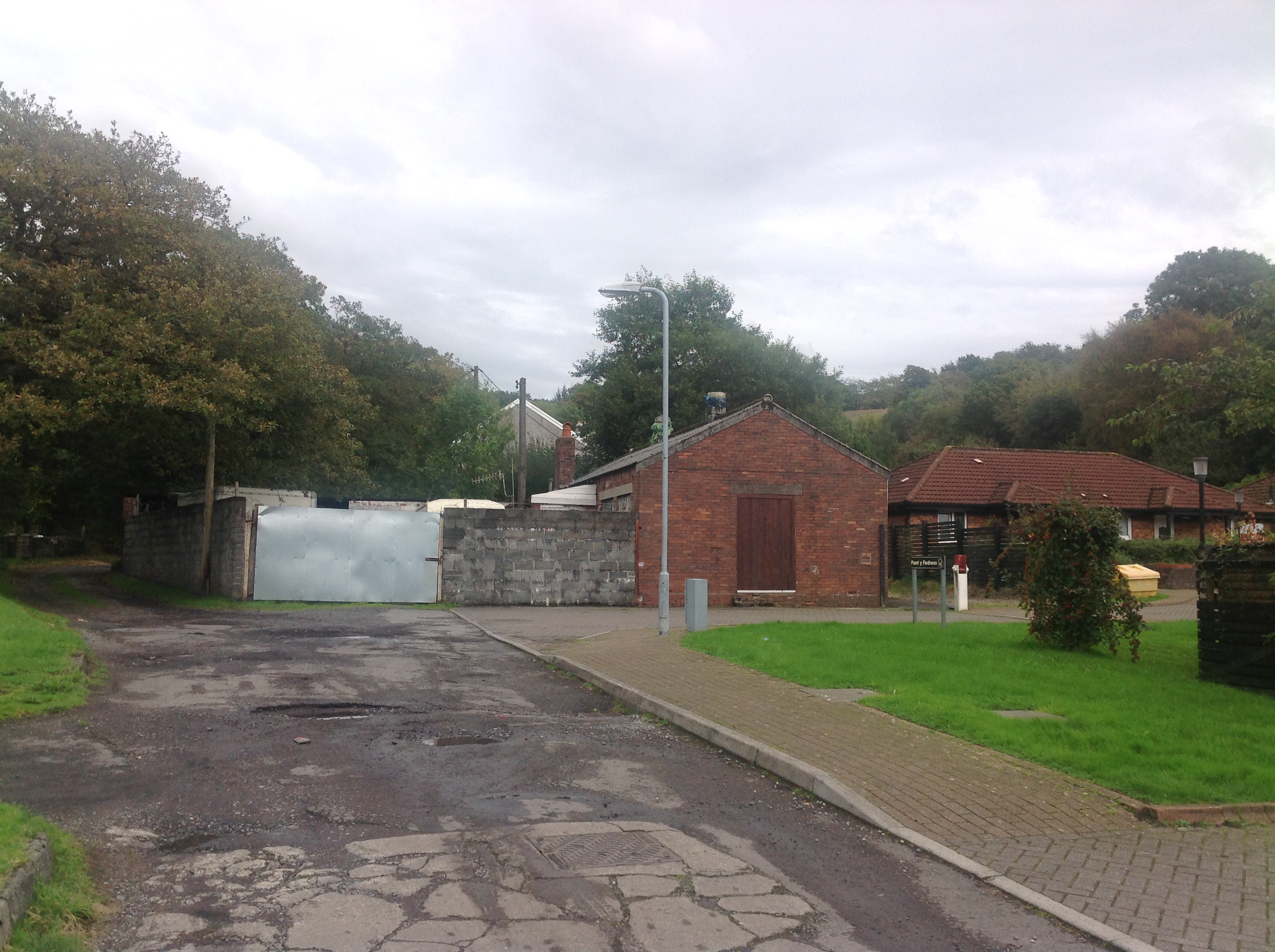
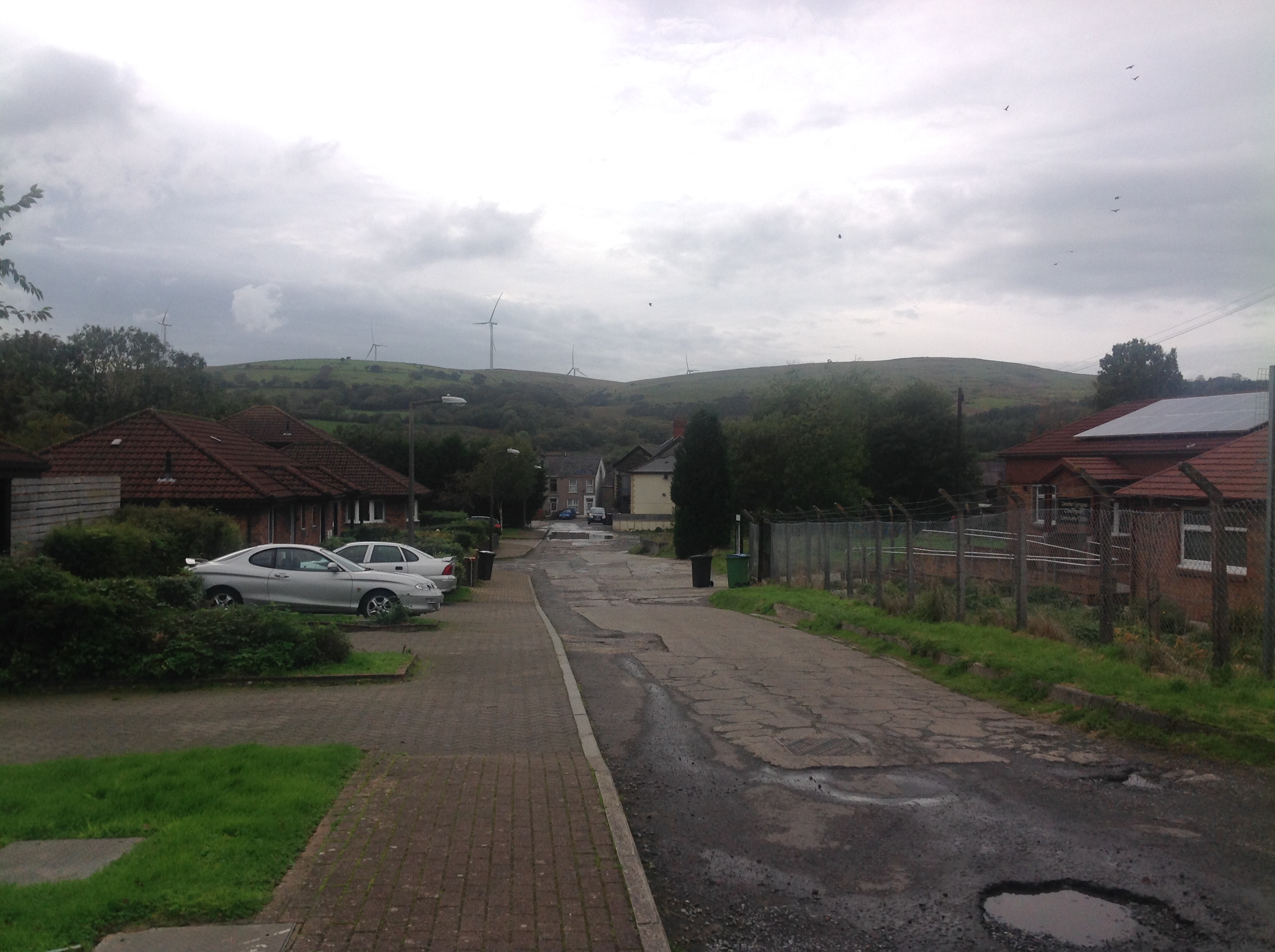
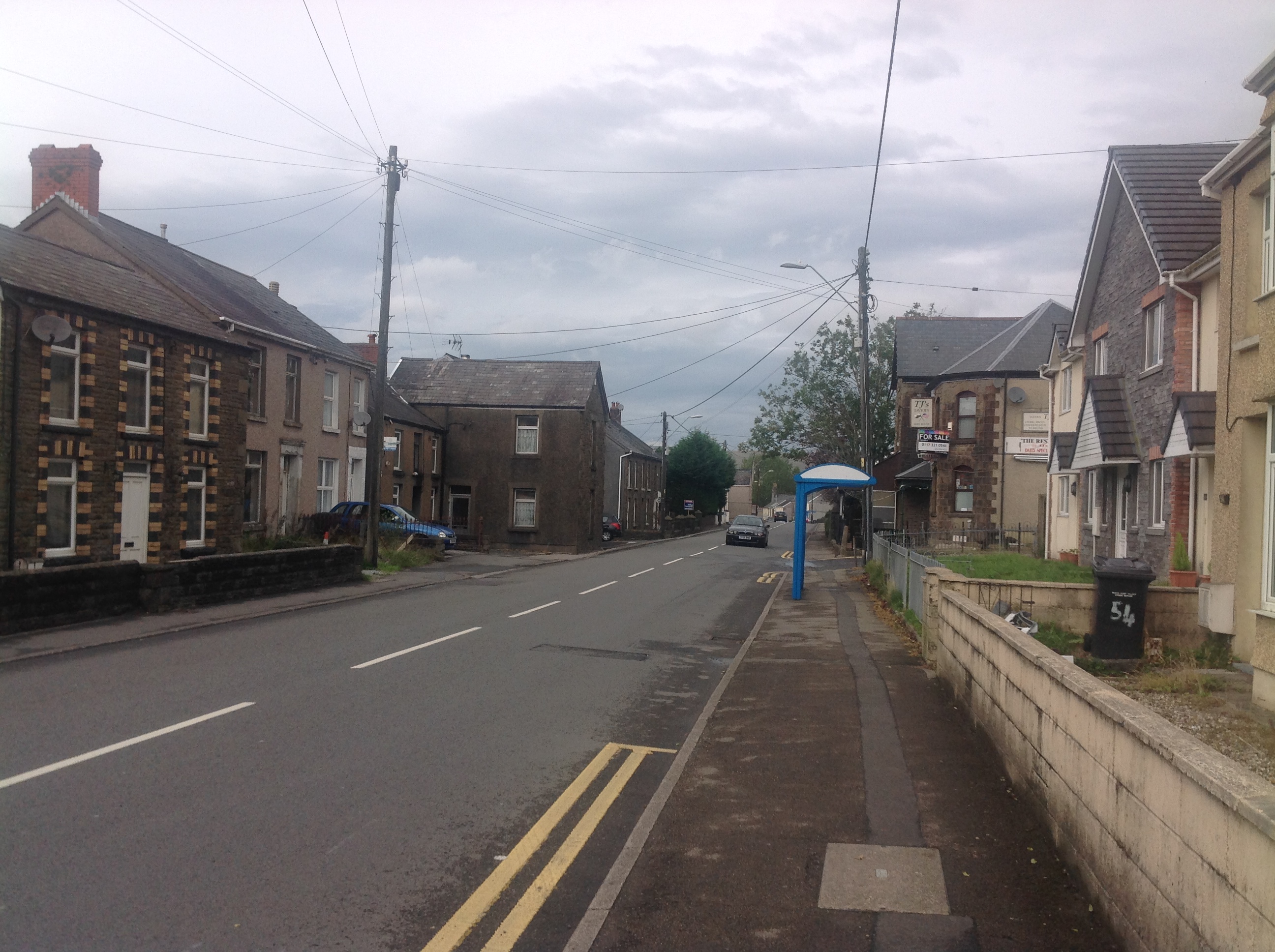
Photo taken 18/10/2013 looking east in the same direction as the original photo from Cemetery Road. |
Class31 |
Saturday 19th of October 2013 08:47:19 PM |
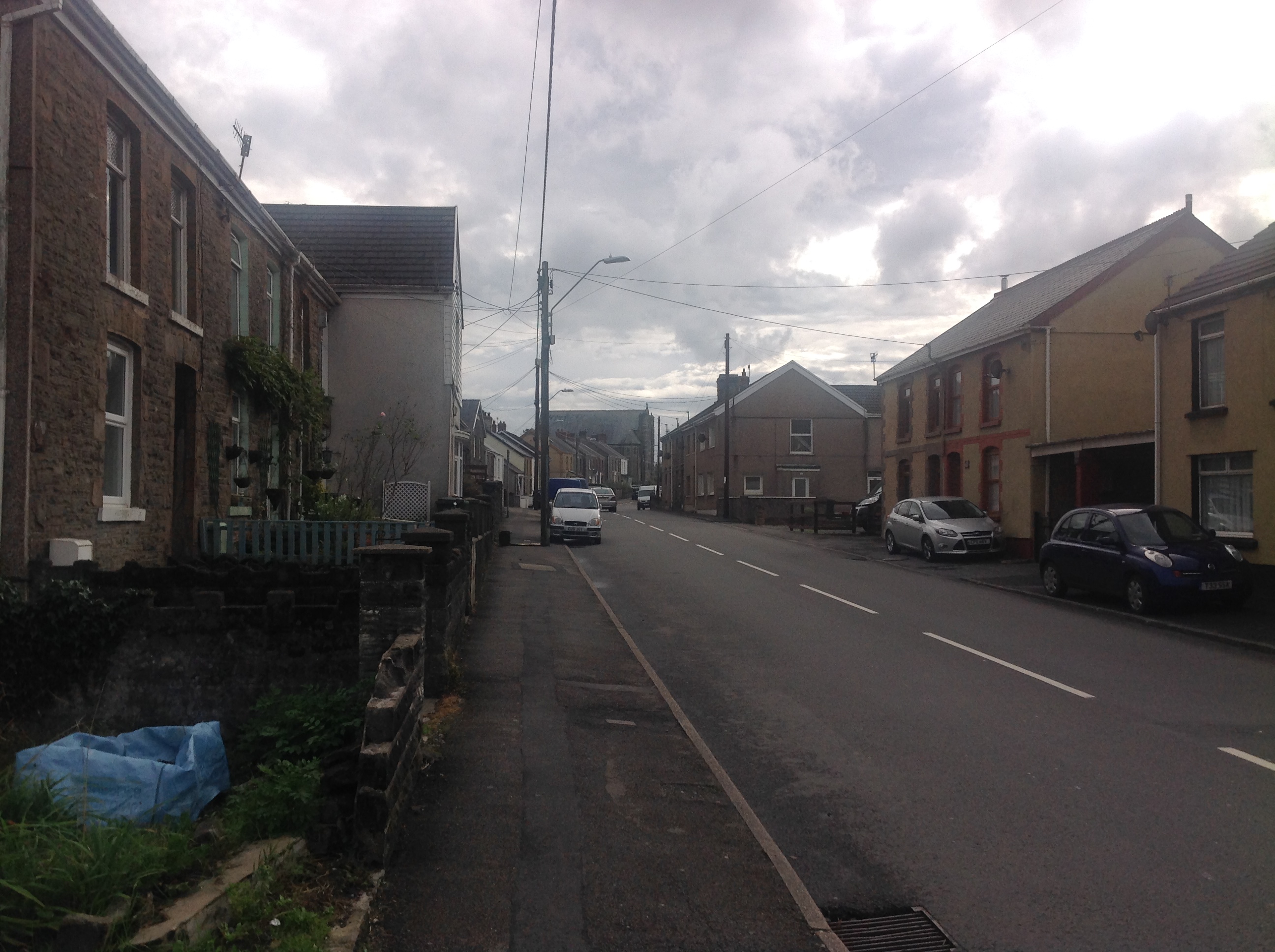
Heol y Gors A474 looking south 18/10/2013 |
Class31 |
Saturday 19th of October 2013 08:42:03 PM |
Heol y Gors A474 looking north 18/10/2013 |
Class31 |
Saturday 19th of October 2013 08:10:34 PM |