
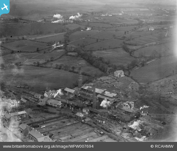
WPW007694 WALES (1922). View of the New Cwmgorse Colliery, Cwmgors, oblique aerial view. 5"x4" black and white glass plate negative.
© Copyright OpenStreetMap contributors and licensed by the OpenStreetMap Foundation. 2025. Cartography is licensed as CC BY-SA.
Nearby Images (3)
WPW007694

WPW007695

WPW007696

Details
| Title | [WPW007694] View of the New Cwmgorse Colliery, Cwmgors, oblique aerial view. 5"x4" black and white glass plate negative. |
| Reference | WPW007694 |
| Date | 1922 |
| Link | Coflein Archive Item 6370362 |
| Place name | |
| Parish | |
| District | |
| Country | WALES |
| Easting / Northing | 270566, 211063 |
| Longitude / Latitude | -3.8765947175341, 51.782788346025 |
| National Grid Reference | SN706111 |
Pins
 |

Class31 |
Saturday 19th of October 2013 08:53:22 PM |
|
Class31 |
Saturday 19th of October 2013 08:04:10 PM | |
|
Class31 |
Sunday 12th of August 2012 10:23:47 PM | |
|
Class31 |
Sunday 12th of August 2012 10:21:15 PM | |
Sorry - wrong building! |
Class31 |
Saturday 19th of October 2013 08:02:58 PM |

User Comment Contributions
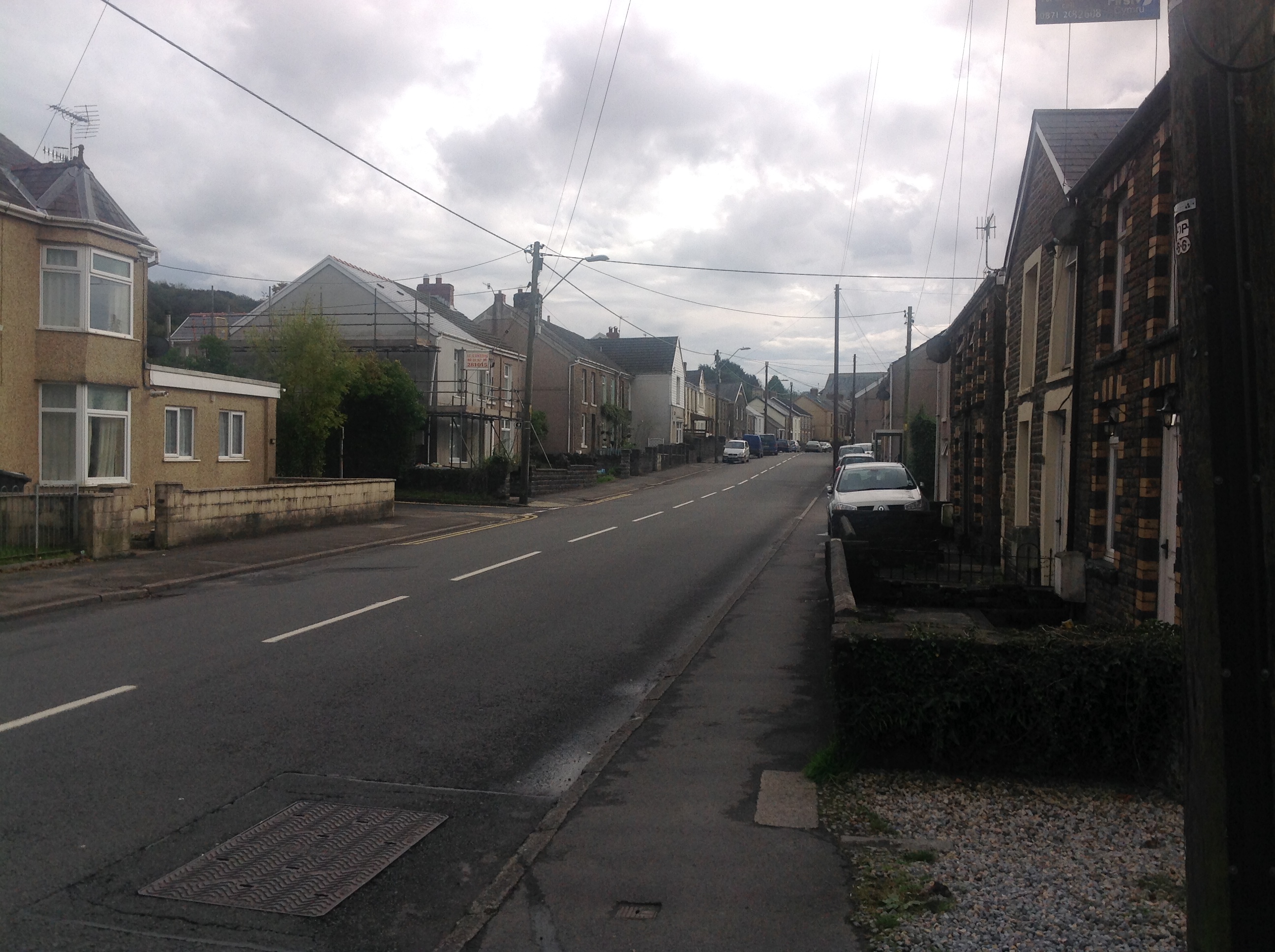
Heol y Gors A474 looking south 18/10/2013 |
Class31 |
Saturday 19th of October 2013 08:08:30 PM |
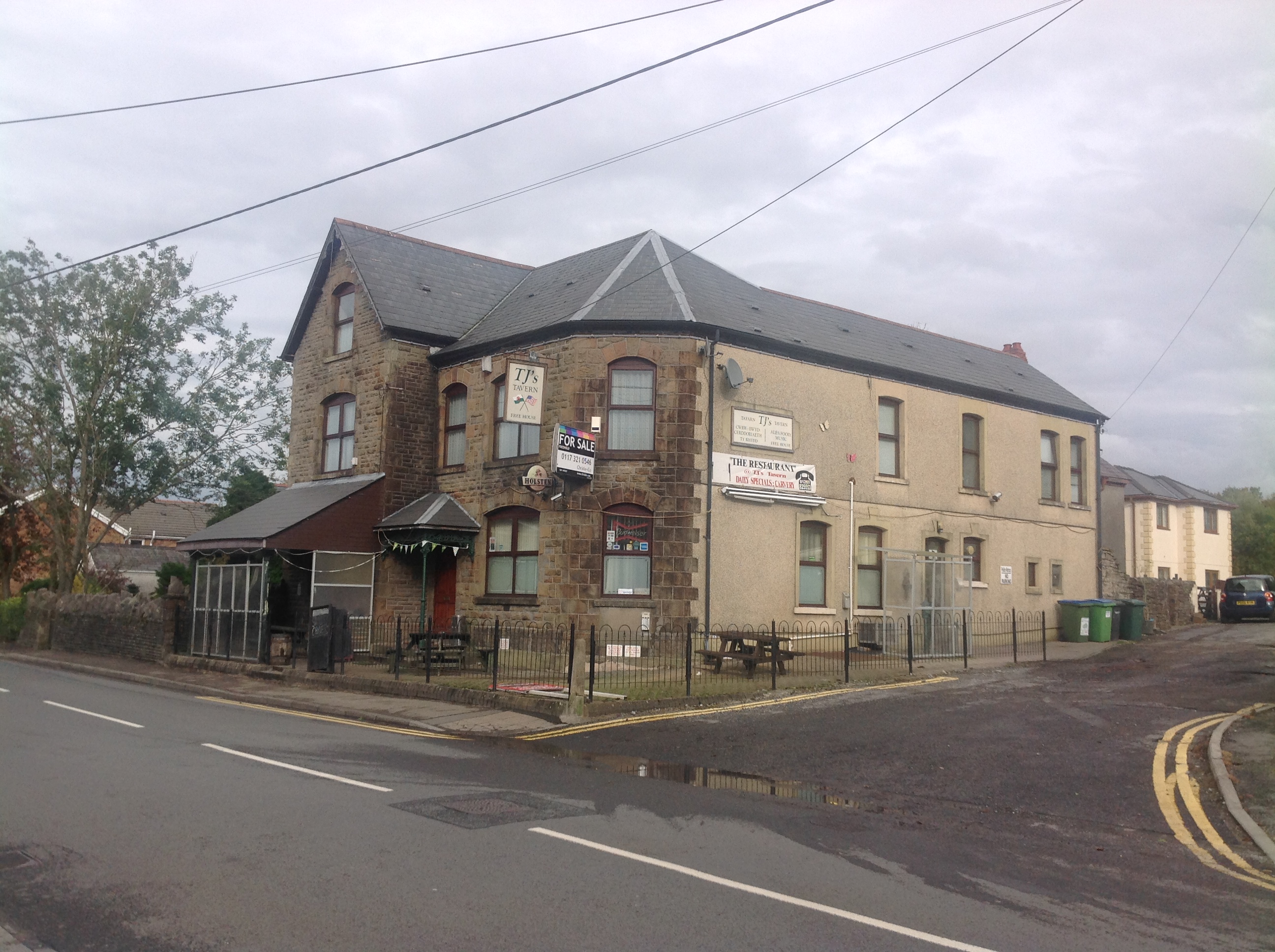
T. J's Tavern 18/10/2013 |
Class31 |
Saturday 19th of October 2013 08:05:42 PM |
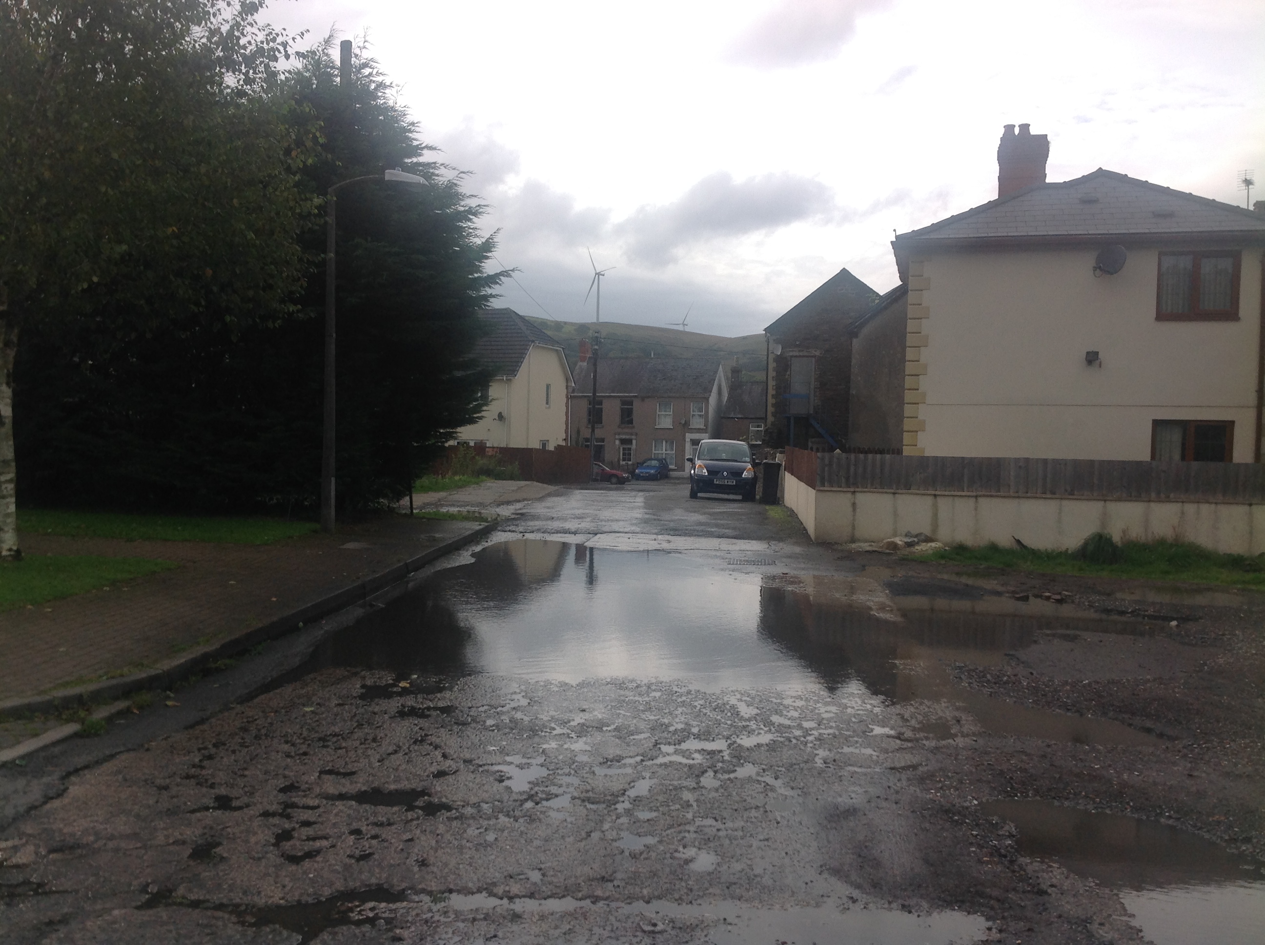
Cemetery Road looking west towards T. J's Tavern from the centre of the colliery site 17/10/2013 |
Class31 |
Saturday 19th of October 2013 07:57:14 PM |
View looking north. |
Class31 |
Sunday 12th of August 2012 10:29:21 PM |