
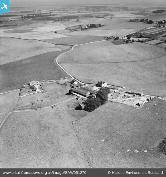
SAW051270 SCOTLAND (1953). Cruivie Castle and Farm, Logie. An oblique aerial photograph taken facing south-east.
© Copyright OpenStreetMap contributors and licensed by the OpenStreetMap Foundation. 2026. Cartography is licensed as CC BY-SA.
Nearby Images (2)
SAW051270

 0°
0m
0°
0m
SAW051271
 0°
0m
0°
0m
Details
| Title | [SAW051270] Cruivie Castle and Farm, Logie. An oblique aerial photograph taken facing south-east. |
| Reference | SAW051270 |
| Date | 1953 |
| Link | NRHE Collection item 1297931 |
| Place name | |
| Parish | LOGIE (NORTH EAST FIFE) |
| District | NORTH EAST FIFE |
| Country | SCOTLAND |
| Easting / Northing | 341962, 722862 |
| Longitude / Latitude | -2.9402843129022, 56.394546837221 |
| National Grid Reference | NO420229 |
Pins
Be the first to add a comment to this image!