
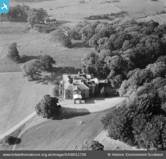
SAW011738 SCOTLAND (1947). Earlston House, Borgue. An oblique aerial photograph taken facing north-west. Prior to its demolition in about 1954.
© Copyright OpenStreetMap contributors and licensed by the OpenStreetMap Foundation. 2025. Cartography is licensed as CC BY-SA.
Nearby Images (8)
SAW011731

SAW011732

SAW011733

SAW011734

SAW011735

SAW011736

SAW011737

SAW011738

Details
| Title | [SAW011738] Earlston House, Borgue. An oblique aerial photograph taken facing north-west. Prior to its demolition in about 1954. |
| Reference | SAW011738 |
| Date | 1947 |
| Link | Canmore Collection item 1230997 |
| Place name | |
| Parish | BORGUE |
| District | STEWARTRY |
| Country | SCOTLAND |
| Easting / Northing | 262933, 550058 |
| Longitude / Latitude | -4.1339002039094, 54.826486628352 |
| National Grid Reference | NX629501 |
Pins
Be the first to add a comment to this image!