
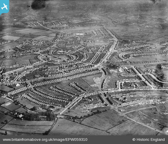
EPW059310 ENGLAND (1938). The Kingstanding Housing Estate under construction, Kingstanding, 1938
© Copyright OpenStreetMap contributors and licensed by the OpenStreetMap Foundation. 2025. Cartography is licensed as CC BY-SA.
Details
| Title | [EPW059310] The Kingstanding Housing Estate under construction, Kingstanding, 1938 |
| Reference | EPW059310 |
| Date | 8-September-1938 |
| Link | |
| Place name | KINGSTANDING |
| Parish | |
| District | |
| Country | ENGLAND |
| Easting / Northing | 407895, 293855 |
| Longitude / Latitude | -1.8835745334541, 52.542131137343 |
| National Grid Reference | SP079939 |
Pins

DeCypherz |
Wednesday 30th of June 2021 07:49:12 PM | |
|
J4CKIE68 |
Sunday 9th of April 2017 05:54:54 PM | |
|
dadge |
Monday 9th of June 2014 09:55:45 PM | |
|
dadge |
Monday 9th of June 2014 09:55:18 PM | |
|
dadge |
Monday 9th of June 2014 09:54:04 PM | |
|
dadge |
Monday 9th of June 2014 09:53:25 PM | |
|
kevofbrum |
Thursday 5th of September 2013 08:47:20 PM | |
|
kevofbrum |
Thursday 5th of September 2013 08:44:44 PM | |
|
kevofbrum |
Thursday 5th of September 2013 08:43:49 PM | |
|
kevofbrum |
Thursday 5th of September 2013 08:42:50 PM | |
|
kevofbrum |
Thursday 5th of September 2013 08:42:12 PM |