
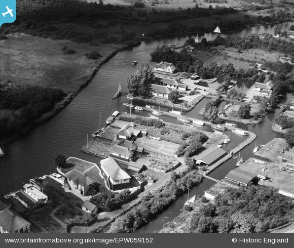
EPW059152 ENGLAND (1938). Boat Houses around the Ferry Cott Lane area, Horning, 1938
© Copyright OpenStreetMap contributors and licensed by the OpenStreetMap Foundation. 2026. Cartography is licensed as CC BY-SA.
Nearby Images (2)
EPW059152

EPW059165

Details
| Title | [EPW059152] Boat Houses around the Ferry Cott Lane area, Horning, 1938 |
| Reference | EPW059152 |
| Date | 3-September-1938 |
| Link | |
| Place name | HORNING |
| Parish | HORNING |
| District | |
| Country | ENGLAND |
| Easting / Northing | 634404, 316851 |
| Longitude / Latitude | 1.4695673969873, 52.698156104284 |
| National Grid Reference | TG344169 |
Pins
Be the first to add a comment to this image!